
Aukštelkai eldership, Seniūnija in Litouwen
Location: Radviliškis District Municipality
Capital city: Aukštelkai
GPS coordinates: 55.84833,23.63056
Latest update: March 18, 2025 09:38
Church of the Discovery of the Holy Cross in Šeduva
12.9 km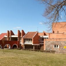
Raudondvaris
15.1 km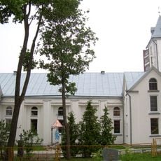
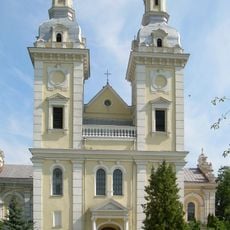
Church of the Nativity of the Virgin Mary, Radviliškis
7.2 km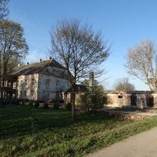
Radvilonių dvaras
7.1 km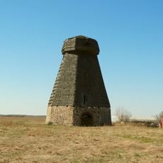
Radviliškis windmill
8.6 km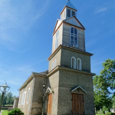
Church of the Blessed Virgin Mary, Liberator of Prisoners, Kairiai
14.5 km
Sodai
15.3 km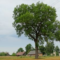
Kairių uosis
15.4 km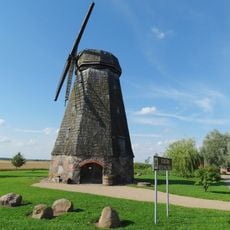
Stačiūnai windmill
10.1 km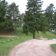
Velžiai hillfort
7.7 km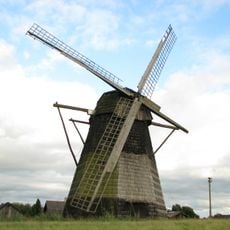
Paežeriai windmill
5.6 km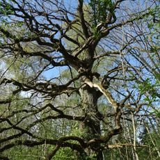
Radvilioniai oak
8 km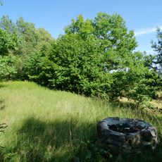
Lapgiris Esker
6.8 km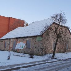
Evangelical Lutheran Church in Radviliškis
7.2 km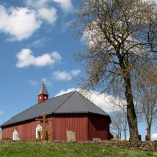
Church of St. Anthony of Padua, Kurai
8.6 km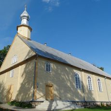
Church of Saint Lawrence in Stačiūnai
10.1 km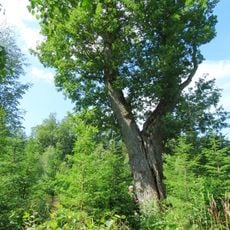
Linkaičiai oak
11 km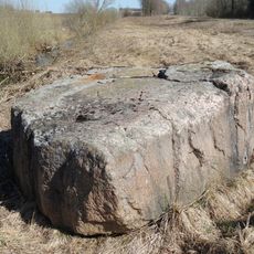
Kurklių akmuo
8.6 km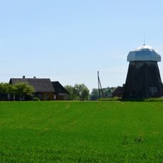
Bačiūnai windmill
11 km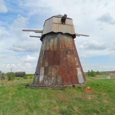
Baltoji windmill
15.2 km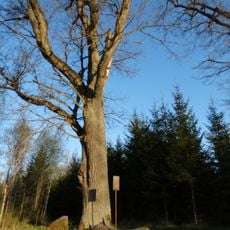
Radvilioniai forest oak
6.3 km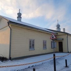
Old Believers Church in Radviliškis
7.5 km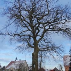
Aukštelkai oak
122 m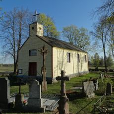
Chapel in Vismantai
4.7 km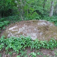
Verdulių akmuo
8.3 km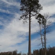
Linkaičių pušis
11.9 km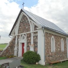
Alksniupiai chapel
9.5 km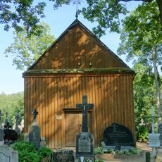
Chapel in Stačiūnai
10.1 kmReviews
Visited this place? Tap the stars to rate it and share your experience / photos with the community! Try now! You can cancel it anytime.
Discover hidden gems everywhere you go!
From secret cafés to breathtaking viewpoints, skip the crowded tourist spots and find places that match your style. Our app makes it easy with voice search, smart filtering, route optimization, and insider tips from travelers worldwide. Download now for the complete mobile experience.

A unique approach to discovering new places❞
— Le Figaro
All the places worth exploring❞
— France Info
A tailor-made excursion in just a few clicks❞
— 20 Minutes