
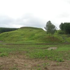
Prystovų Didysis kūlis
Location: Kretinga Municipality
GPS coordinates: 55.95700,21.55000
Latest update: September 25, 2025 07:41
Kartena Hillfort
7 km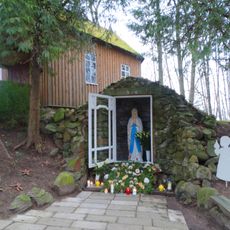
Lourdes Grotto, Abakai
7.4 km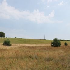
Hillfort Gintarai
4.6 km
Kartena manor
4.6 km
Church of the Assumption, Kartena
6.1 km
Church of St. Lawrence, Kalnalis
6.5 km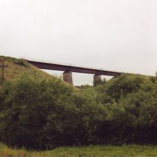
Kūlupėnų geležinkelio tiltas
2.5 km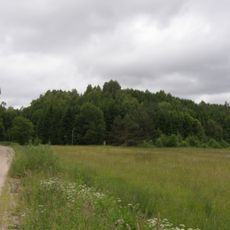
Dauginčiai hillfort
1.6 km
Šalyno dvaras
5 km
Church of St. Matthias, Kūlupėnai
4.6 km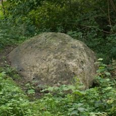
Kartenos akmuo
7.2 km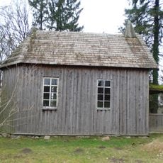
Abakai chapel
7.4 km
Martynaičių piliakalnis
3.9 km
Sauseriai hillfort
1.2 km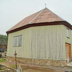
Kartena cemetery chapel
7 km
Dauginčiai II hillfort
940 m
Prystovai hillfort
131 m
Gaudučių hillfort
4.7 km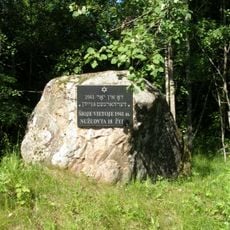
Šalynas Holocaust Memorial
6 km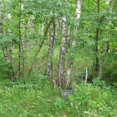
Vėlaičių hillfort
5.1 km
Tinteliai chapel
3.7 km
Prystovų piliakalnio vieta
131 m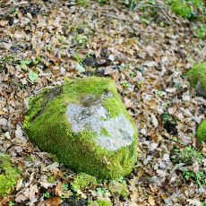
Imbarės akmuo su dubeniu
6.9 km
Dyburių Molkio akmuo
5.3 km
Gintarų pilkapynas
4.9 km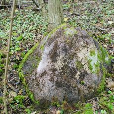
Imbarės II akmuo su dubeniu
6.9 km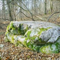
Prystovų Čerauninko kūlis
484 m
Prystovų akmuo su dubeniu
1.6 kmReviews
Visited this place? Tap the stars to rate it and share your experience / photos with the community! Try now! You can cancel it anytime.
Discover hidden gems everywhere you go!
From secret cafés to breathtaking viewpoints, skip the crowded tourist spots and find places that match your style. Our app makes it easy with voice search, smart filtering, route optimization, and insider tips from travelers worldwide. Download now for the complete mobile experience.

A unique approach to discovering new places❞
— Le Figaro
All the places worth exploring❞
— France Info
A tailor-made excursion in just a few clicks❞
— 20 Minutes