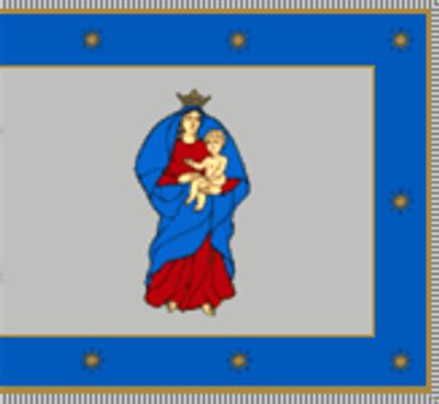
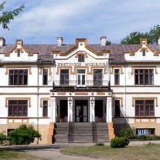
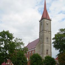
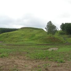
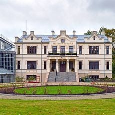
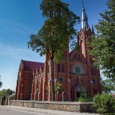
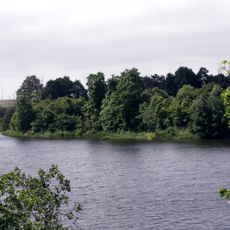
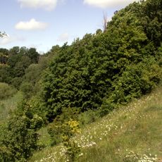
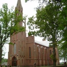
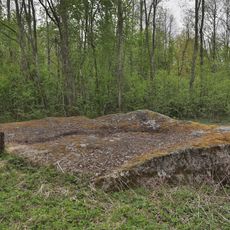
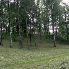
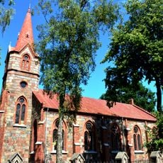
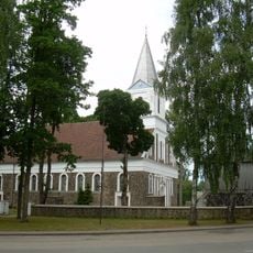
Kretinga Municipality, district municipality of Lithuania
Location: Lithuania
Inception: June 1950
Capital city: Kretinga
Elevation above the sea: 57.5 m
Shares border with: Klaipėda District Municipality, Plungė District Municipality, Skuodas District Municipality, Palanga City Municipality
Email: savivaldybe@kretinga.lt
Website: https://kretinga.lt
GPS coordinates: 55.88330,21.38330
Latest update: March 11, 2025 12:16
Kretinga Manor
8.6 km
Church of the Annunciation, Kretinga
8.8 km
Laukžemės dvaras
23.7 km
Kartena Hillfort
6.5 km
Kretinga Museum
8.6 km
Salantai Regional Park
28.7 km
Church of the Assumption, Salantai
22.7 km
Imbarė hillfort
19.2 km
Laukžemių tvenkinys
16.2 km
Eketės piliakalnis
16.3 km
Church of St. Mark the Evangelist, Šateikiai
22.4 km
Daubos kūlis
27.4 km
Senoji Įpiltis hillfort
28 km
Lazdininkai Pond
19.6 km
Erškėtynas Chapel
14.9 km
St. Clare's Monastery, Kretinga
9 km
Kretinga Stadium
8.3 km
Church of St. Anthony of Padua, Pakutuvėnai
19.2 km
Church of St. Stanislaus the Bishop, Kuliai
18.9 km
Hillfort Valėnai
10.9 km
Lourdes Grotto, Abakai
6 km
Hillfort Gintarai
8.6 km
Church of the Holy Family, Plikiai
12.4 km
Hillfort Nagarba
13.2 km
Hillfort Anduliai
10.4 km
Evangelical Lutheran Church in Kretinga
8.8 km
Church of St. Peter and St. Paul, Darbėnai
17.5 km
Kartena manor
8.6 kmReviews
Visited this place? Tap the stars to rate it and share your experience / photos with the community! Try now! You can cancel it anytime.
Discover hidden gems everywhere you go!
From secret cafés to breathtaking viewpoints, skip the crowded tourist spots and find places that match your style. Our app makes it easy with voice search, smart filtering, route optimization, and insider tips from travelers worldwide. Download now for the complete mobile experience.
A unique approach to discovering new places❞
— Le Figaro
All the places worth exploring❞
— France Info
A tailor-made excursion in just a few clicks❞
— 20 Minutes