
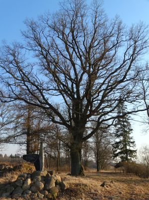
Riškaičių ąžuolas
Location: Šiauliai District Municipality
GPS coordinates: 56.19300,23.14409
Latest update: September 25, 2025 07:41
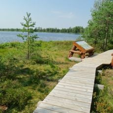
Mūšos Tyrelio Educational Trail
7.9 km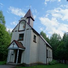
Chapel in Agailės
14.3 km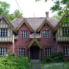
Žagarė Regional Park
11.9 km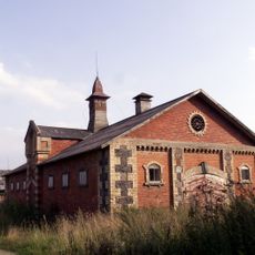
Gruzdžiai Manor
12.9 km
Church of the Holy Trinity, Gruzdžiai
12.4 km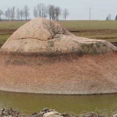
Brothers boulder
16.2 km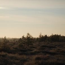
Mūšos Tyrelis Telmological Reserve
7.3 km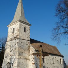
Church of St. Michael the Archangel, Šakyna
2 km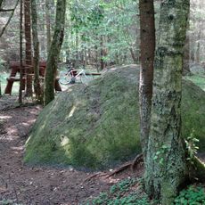
Tyrelio Erratic Stone
5.6 km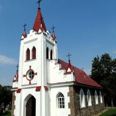
Church of Crucified Jesus, Žukančiai
9.2 km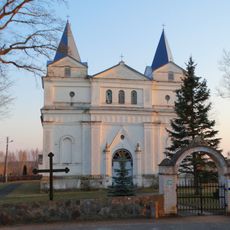
Church of St. Anne, Kruopiai
9.5 km
Žeimių vinkšna
11.9 km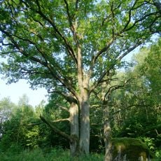
Beržynės ąžuolas
15.6 km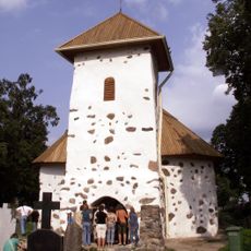
Chapel in Šakyna
3.2 km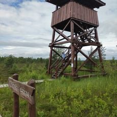
Mūšos Tyrelio Watchtower
7.8 km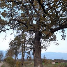
Dovydžių ąžuolas
7.9 km
Maldenių ąžuolas
13.4 km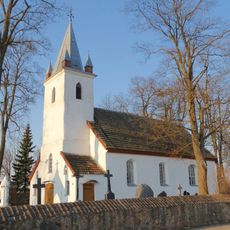
Church of St. Nicholas, Žarėnai
6.4 km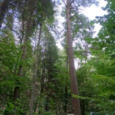
Žagarės miško veimutinė pušis
13.4 km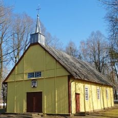
Church of St. Aloysius, Šiupyliai
11.1 km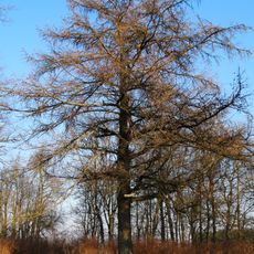
Riškaičių maumedis
27 m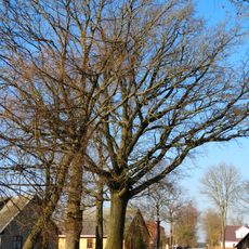
Kulnio ąžuolas
9.6 km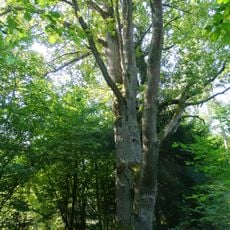
Reibiniškio miško dvikamienis ąžuolas
14.6 km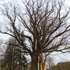
Veršių ąžuolas
15.7 km
Raistų ąžuolas
10.8 km
Raistų liepa
10.8 km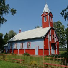
Church of St. John the Baptist, Juodeikiai
7.2 km
Dargaičių tvenkinys
9.7 kmReviews
Visited this place? Tap the stars to rate it and share your experience / photos with the community! Try now! You can cancel it anytime.
Discover hidden gems everywhere you go!
From secret cafés to breathtaking viewpoints, skip the crowded tourist spots and find places that match your style. Our app makes it easy with voice search, smart filtering, route optimization, and insider tips from travelers worldwide. Download now for the complete mobile experience.

A unique approach to discovering new places❞
— Le Figaro
All the places worth exploring❞
— France Info
A tailor-made excursion in just a few clicks❞
— 20 Minutes