
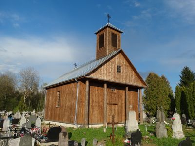
Chapel, Tabariškės, chapel in Lithuania
Location: Šalčininkai District Municipality
Location: Tabariškės
GPS coordinates: 54.43319,25.61379
Latest update: September 25, 2025 07:41
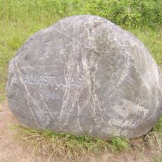
Aukštojas Hill
10.5 km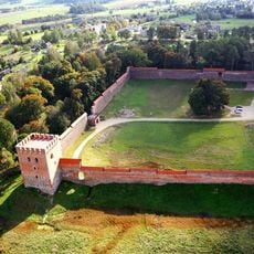
Medininkai Castle
12.1 km
Merkinė Manor
9.4 km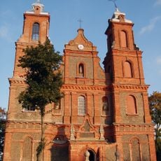
Church of the Assumption, Turgeliai
7.3 km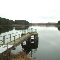
Kūlių tvenkinys
16.4 km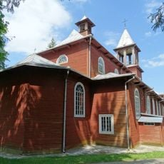
Church of the Holy Trinity and St. Casimir, Medininkai
12 km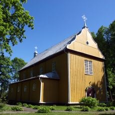
Church of St. Michael the Archangel, Tabariškės
735 m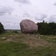
Juozapine Geomorphological Reserve
9.3 km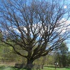
Stakai oak
16.4 km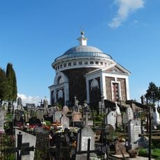
Chapel, Turgeliai
7 km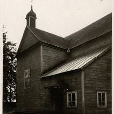
Касцёл Імя Найсвяцейшай Дзевы Марыі, Мураваная Ашмянка
11.4 km
Mikniškės manor
6.3 km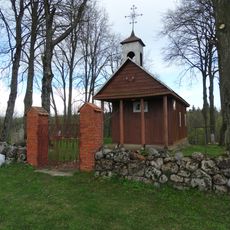
Chapel, Sangėliškės
12.6 km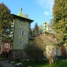
Orthodox church in Mikniškės
6.2 km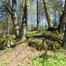
Stakų konglomerato luistai
16.3 km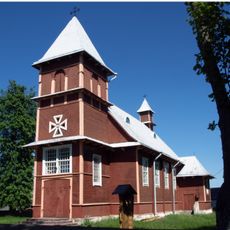
Saint Therese of the Child Jesus church in Akmenynė
10 km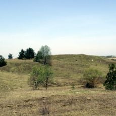
Turgeliai hillfort
7.2 km
Kurmelionys hillfort
7.6 km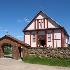
Church of St. George, Šalčininkėliai
16.3 km
Grave of Jędrzej Śniadecki
17.2 km
Mūrininkai Mound
17.8 km
Dailidžių stone
17.8 km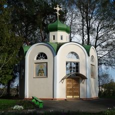
Orthodox chapel, Mikniškės
6.2 km
Church of Saint Virgin Mary in Harodniki
17.3 km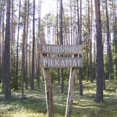
Mūrininkų pilkapiai
16 km
Stakai Landscape Reserve
14.9 km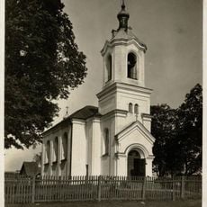
Касцёл Святога Якуба (Цудзенішкі)
15.2 km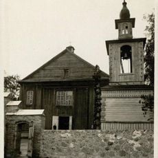
Касцёл Святых апосталаў Пятра і Паўла
18.6 kmReviews
Visited this place? Tap the stars to rate it and share your experience / photos with the community! Try now! You can cancel it anytime.
Discover hidden gems everywhere you go!
From secret cafés to breathtaking viewpoints, skip the crowded tourist spots and find places that match your style. Our app makes it easy with voice search, smart filtering, route optimization, and insider tips from travelers worldwide. Download now for the complete mobile experience.

A unique approach to discovering new places❞
— Le Figaro
All the places worth exploring❞
— France Info
A tailor-made excursion in just a few clicks❞
— 20 Minutes