
Burtnieki, human settlement
Location: Burtnieki Parish
Elevation above the sea: 47 m
GPS coordinates: 57.69472,25.27500
Latest update: April 24, 2025 04:05
Zilaiskalns Hill
16.1 km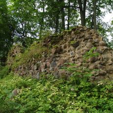
Burtnieki Castle
473 m
Dikļi Manor
14.9 km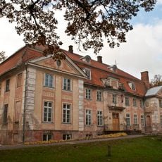
Ozolmuiža Manor
15 km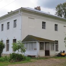
Bauņi Manor
7.7 km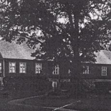
Vecates muiža
13.7 km
Astijärve kirik
3.1 km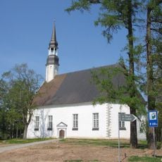
Church of Saint Matthew in Matīši
6.9 km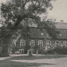
Vilzēnu Manor
16.1 km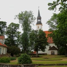
Burtnieku mācītājmuižas apbūve
3.1 km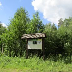
Vidusburtnieks
10.8 km
Rugāju pilskalniņš
3 km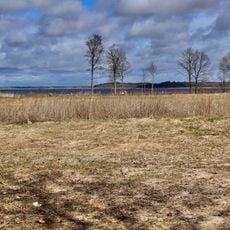
Burtnieku ezera pļavas
2.8 km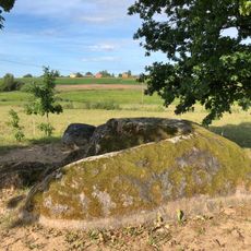
Daviņu Lielais akmens - kulta vieta
8.5 km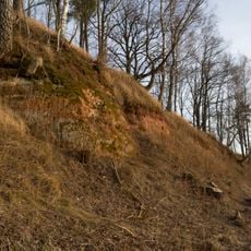
Burtnieka smilšakmens atsegumi
2.7 km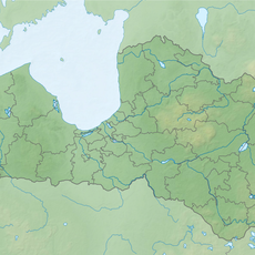
Zvārtu akmens ar uzrakstiem un zīmēm
4.5 km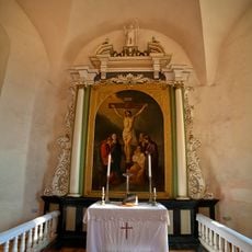
Altar of Church of Saint Matthew in Matīši
6.9 km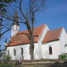
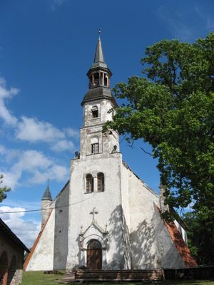
Lutheran church in Burtnieki
3.2 km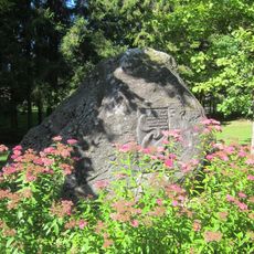
Dikļi Park stage – the place of first Latvian song festival
16 km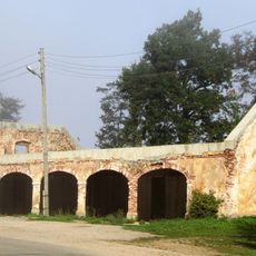
Klēts (Nr.2)
471 m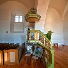
Pulpit of Church of Saint Matthew in Matīši
6.9 km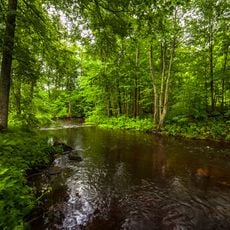
Dikļi Manor Alley
15.7 km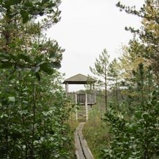
Oleru purvs
13.4 km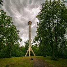
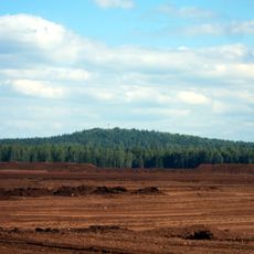
Zilaiskalns
16 km
Jaunburtnieku kapsētas senkapi ar krustakmeni
10 km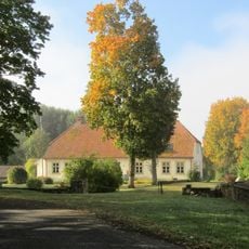
Mācītāja māja
3.1 km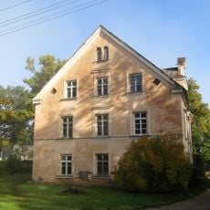
Pārvaldnieka māja
465 m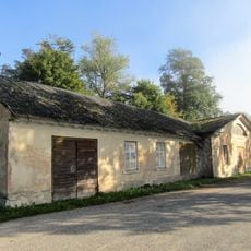
Staļļi
462 mVisited this place? Tap the stars to rate it and share your experience / photos with the community! Try now! You can cancel it anytime.
Discover hidden gems everywhere you go!
From secret cafés to breathtaking viewpoints, skip the crowded tourist spots and find places that match your style. Our app makes it easy with voice search, smart filtering, route optimization, and insider tips from travelers worldwide. Download now for the complete mobile experience.

A unique approach to discovering new places❞
— Le Figaro
All the places worth exploring❞
— France Info
A tailor-made excursion in just a few clicks❞
— 20 Minutes