
Vecumnieki, human settlement
Location: Vecumnieki Parish
Elevation above the sea: 35 m
GPS coordinates: 56.60639,24.52222
Latest update: April 11, 2025 15:42

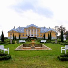
Brukna Manor
16.1 km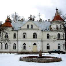
Baldone Manor
17.4 km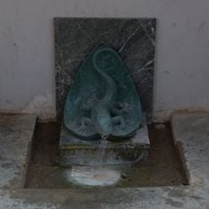
Baldones sēravots
16.8 km
Baldone lutheran church
17 km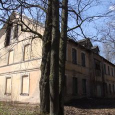
Pētermuiža School
13.9 km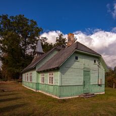
Holy Cross church in Janči
13.5 km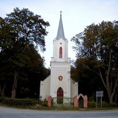
Lutheran church in Bārbele
17.8 km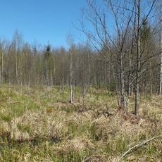
Kalēju tīrelis
5.6 km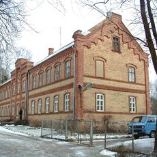
Vecumnieki Rome Catholic chapel
538 m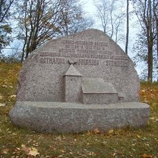
Birzgale Lutheran church
14.7 km
Baldones sanatorijas parks
16.8 km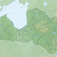
Pilveru pilskalns
14.9 km
Baldones Baltās pils parks
17.4 km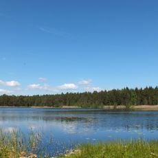
Zaļezera purvs
15.2 km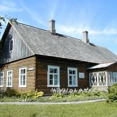
Režisora A.Amtmaņa - Briedīša dzimtās mājas
16.3 km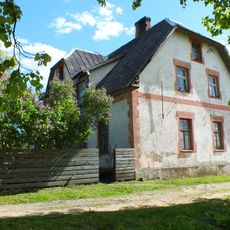
Tome parish house
18.2 km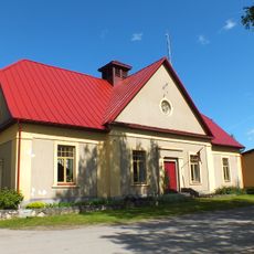
Tome folk house
18.1 km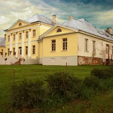
Bruknas muižas kungu māja
16.1 km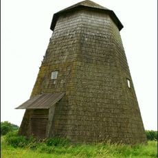
Kiru windmill
8.4 km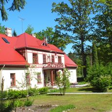
Tome school
17.9 km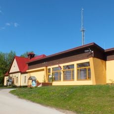
Tome
18.1 km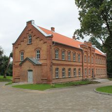
Vecumnieku pamatskola
542 m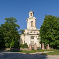
Lutheran church in Vecumnieki
327 m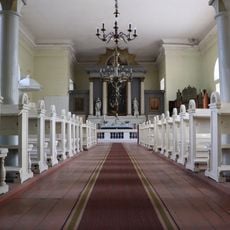
Interior of Lutheran church in Vecumnieki
349 m
Čigānu kalns - pilskalns
400 m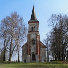
Valles luterāņu baznīca
16.4 km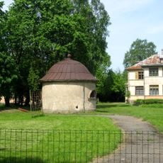
Šarlotenrue muižas kapliča
16.7 km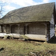
Klēts
9.7 kmReviews
Visited this place? Tap the stars to rate it and share your experience / photos with the community! Try now! You can cancel it anytime.
Discover hidden gems everywhere you go!
From secret cafés to breathtaking viewpoints, skip the crowded tourist spots and find places that match your style. Our app makes it easy with voice search, smart filtering, route optimization, and insider tips from travelers worldwide. Download now for the complete mobile experience.

A unique approach to discovering new places❞
— Le Figaro
All the places worth exploring❞
— France Info
A tailor-made excursion in just a few clicks❞
— 20 Minutes