
Kolka, village in Latvia
Location: Kolka Parish
Elevation above the sea: 3 m
GPS coordinates: 57.74250,22.58444
Latest update: March 31, 2025 19:03
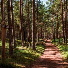
Slītere National Park
21.7 km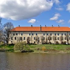
Dundaga Castle
29.2 km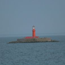
Kolka lighthouse
7.3 km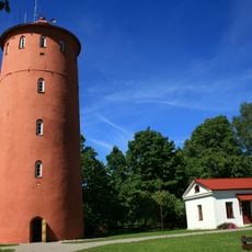
Slītere lighthouse
21.7 km
Dundagas pilskalns
28.9 km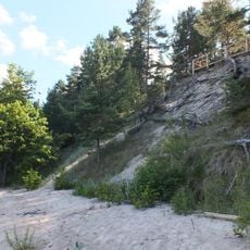
Ēvažu stāvkrasts
7.3 km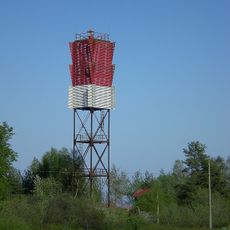
Ģipka Lighthouse
19.7 km
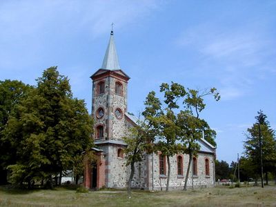
Lutheran church in Roja
29.4 km
Lutheran church in Ģipka
20.8 km
Orthodox church of the Nativity of Jesus Christ in Kolka
819 m
Our Lady, Star of the Sea church in Kolka
313 m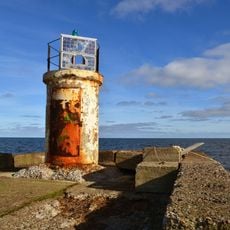
Leuchttürme Roja
29.4 km
Kalna dārzs
29.1 km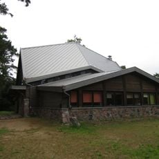
Rojas Svētā apustuļa Andreja Romas katoļu baznīca
29.3 km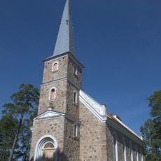
Lutheran church in Mazirbe
17 km
Puiškalns hillfort
22.6 km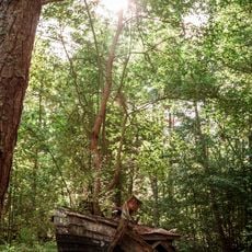
Mazirbe Boat Cemetery
16.9 km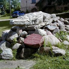
Crocodile of Dundaga
29.3 km
Zilo kalnu Šlīteres krauja
21.1 km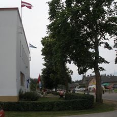
Livonian culture centre
17.1 km
Mazirbes mācītājmuižas mācītājmāja
16.8 km
Roja
29 km
Kolka
643 m
Kadiķu nora
19.5 km
Daiķu īvju audze
20.9 km
Kaļķupītes klintis
22.6 km
Pitragsupes krasti
14.2 km
Zartapu grava
20.6 kmReviews
Visited this place? Tap the stars to rate it and share your experience / photos with the community! Try now! You can cancel it anytime.
Discover hidden gems everywhere you go!
From secret cafés to breathtaking viewpoints, skip the crowded tourist spots and find places that match your style. Our app makes it easy with voice search, smart filtering, route optimization, and insider tips from travelers worldwide. Download now for the complete mobile experience.

A unique approach to discovering new places❞
— Le Figaro
All the places worth exploring❞
— France Info
A tailor-made excursion in just a few clicks❞
— 20 Minutes