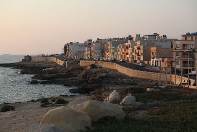
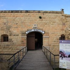
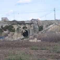
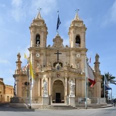
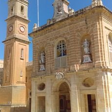
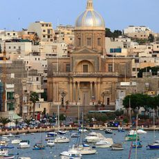
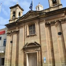
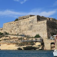
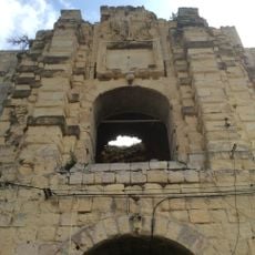
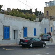
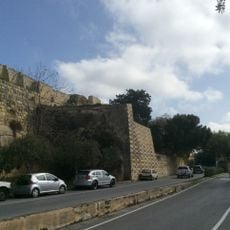
Xgħajra, local council of Malta
Location: Port Region (Port)
Elevation above the sea: 32 m
Website: https://localgovernmentdivisioncms.gov.mt/en/lc/Xghajra/Pages/default.aspx
Part of: Port Region (Port)
Website: https://localgovernmentdivisioncms.gov.mt/en/lc/Xghajra/Pages/default.aspx
GPS coordinates: 35.88639,14.54722
Latest update: March 13, 2025 08:59
Rinella Battery
1.6 km
Fort Leonardo
1.5 km
Parish Church of Our Lady of Graces, Żabbar
1.8 km
Fort St. Rocco
1.1 km
Żabbar Sanctuary Museum
1.8 km
Notre Dame Gate
1.7 km
Fort San Salvatore
1.7 km
Kalkara Naval Cemetery
979 m
Santa Maria delle Grazie Tower
226 m
San Rocco Battery
1.2 km
Della Grazie Battery
210 m
Triq il-Wiesgħa Tower
1.8 km
Chapel of St. Nicholas, Żonqor
1.9 km
Capuchin Convent Battery
1.3 km
Santa Marija Chapel
1.6 km
Church of St. Barbara and the Capuchin Friars
1.2 km
Chapel of Christ the Saviour
2 km
St Joseph Parish Church
1.7 km
Kościół Zwiastowania Pańskiego w Żabbar
1.6 km
Villa Portelli
2 km
Statue of the Immaculate Conception
1.5 km
No 4 Bastion – Fort Ricasoli
2.1 km
Counterguard – Fort Ricasoli
2 km
Right Demi-Bastion & adjoining curtain – Fort Ricasoli
2 km
San Salvatore Gate – Cottonera Lines
1.9 km
The Cottage
2 km
San Salvatore Curtain – Cottonera Lines
1.8 km
Red House
1.1 kmReviews
Visited this place? Tap the stars to rate it and share your experience / photos with the community! Try now! You can cancel it anytime.
Discover hidden gems everywhere you go!
From secret cafés to breathtaking viewpoints, skip the crowded tourist spots and find places that match your style. Our app makes it easy with voice search, smart filtering, route optimization, and insider tips from travelers worldwide. Download now for the complete mobile experience.
A unique approach to discovering new places❞
— Le Figaro
All the places worth exploring❞
— France Info
A tailor-made excursion in just a few clicks❞
— 20 Minutes