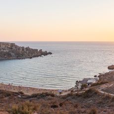
Fomm ir-Riħ, Natural bay on the western coast of Malta
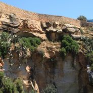
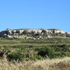
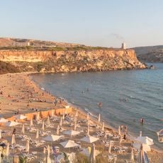
Vertical limestone cliffs drop nearly 820 feet (250 meters) to a narrow pebble shore where Mediterranean waters remain clear for swimming despite occasional strong surface currents during windy conditions.
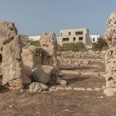
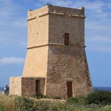
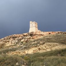
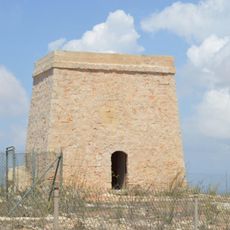
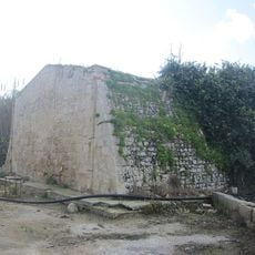
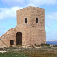
The Knights of Malta erected Blat Mogħża Tower on the clifftop during the 1650s as part of their coastal defense network, but the structure collapsed sometime in the 1700s and was never rebuilt.
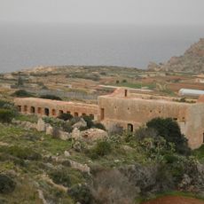
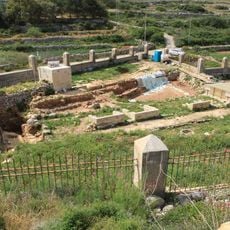
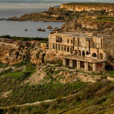
Local fishermen have historically used the bay as a seasonal anchorage, though its challenging access and wind exposure have prevented permanent settlement or commercial development in the area.
Reaching the shore requires a steep descent of roughly twenty minutes along a rocky path with no handrails or shade, so visitors should wear sturdy footwear and carry sufficient water for the return climb.
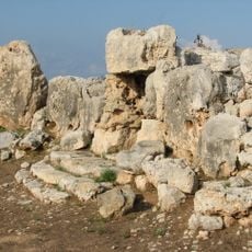
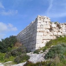
Prehistoric cart ruts carved into the limestone at nearby Ras il-Pellegrin headland run straight off the cliff edge, suggesting either significant coastal erosion or ancient quarrying activities whose purpose remains debated among archaeologists.
GPS coordinates: 35.90700,14.34000
Latest update: December 1, 2025 09:30
Malta contains numerous historical sites and natural landscapes away from the main tourist areas. The islands hold prehistoric temple complexes such as Skorba and Ta' Ħaġrat near Mġarr, Roman remains including the Roman Villa at Żejtun and ancient bath sites, and Ghar Dalam, a cave with Ice Age fossil deposits. The geological diversity appears at locations like Il-Maqluba, a natural sinkhole crater, and the Blue Grotto near Żurrieq, while coastal fortifications such as Mistra Battery and the Red Tower document the island's defensive heritage. Religious sites mark the rural areas, including the Chapel of Santa Marija Tal-Virtu in Rabat and the chapels of Qrendi. The Buskett Gardens and San Anton Gardens provide green spaces with historical significance, while Il-Majjistral Nature and History Park protects coastal habitats. Archaeological complexes like Tas-Silġ show layers of Phoenician, Roman and Byzantine settlement. The Victoria Lines near Rabat, an 18th-century defensive wall, and Fort Binġemma demonstrate military architecture from different periods. Gozo adds locations such as Mgarr ix-Xini, a sheltered inlet, and Il-Qolla l-Bajda Battery.
Skorba Temples
3.7 km
Għajn Tuffieħa
2.9 km
Devil's Farmhouse
5.5 km
Ta' Ħaġrat Temples
2.9 km
Fort Binġemma
2 km
Castello Zamittello
2.3 km
Parish Church of the Assumption
2.7 km
Għajn Tuffieħa Tower
2.7 km
Għajn Tuffieħa Roman Baths
2.7 km
Golden Bay
3 km
Majjistral Park
4.3 km
Lippija Tower
2 km
Nadur Tower
2.9 km
Parish Church of St Joseph, Manikata
4 km
Chapel of the Immaculate Conception, Wied Gerżuma
1.2 km
Chapel of San Mikiel Is-Sanċir
4.8 km
Għajn Żnuber Tower
4.8 km
Falca Lines
5.5 km
St Oswald's Church, Mtarfa
5.4 km
St Martin's Chapel, Baħrija
1.4 km
St Martin of Tours Parish Church, Baħrija
1.5 km
Church of the Nativity of Our Lady, Mtaħleb
3.3 km
Skorba Torso figurine
3.7 km
Skorba lower female part figurine
3.7 km
Unfinished Skorba figurine
3.7 km
Skorba Upper part of figurine
3.7 km
Red skorba phase lower female part figurine
3.7 km
Figurine fragments from Skorba
3.7 kmReviews
Visited this place? Tap the stars to rate it and share your experience / photos with the community! Try now! You can cancel it anytime.
Discover hidden gems everywhere you go!
From secret cafés to breathtaking viewpoints, skip the crowded tourist spots and find places that match your style. Our app makes it easy with voice search, smart filtering, route optimization, and insider tips from travelers worldwide. Download now for the complete mobile experience.
A unique approach to discovering new places❞
— Le Figaro
All the places worth exploring❞
— France Info
A tailor-made excursion in just a few clicks❞
— 20 Minutes