Enable Location

We need your location to show you interesting places around you

Discover nearby places

Find interesting locations and hidden gems around you

Precise directions

Get accurate directions and distances to places

Your location is never shared with other users. It's only used when you tap the location button.

Etten-Leur

Log in to your account

Start exploring — it's free

Trusted by 62,060 travelers worldwide

Continue with Google
Continue with Apple
or

We will send you a code to connect

By continuing, you accept our Terms and Conditions and our Privacy Policy

Check your inbox

We've sent a pincode in your inbox. Please enter the code below.

Etten-Leur, Municipality in North Brabant, Netherlands.

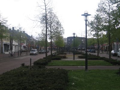
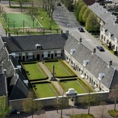
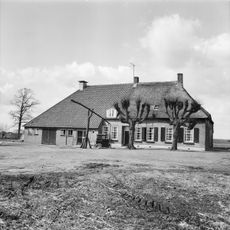
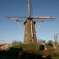
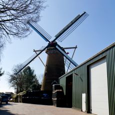
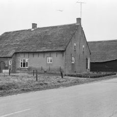
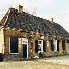
Etten-Leur is a municipality in North Brabant that combines residential areas, commercial zones, and green spaces spread across its territory. The town blends rural surroundings with more developed neighborhoods, creating a mixed landscape typical of Dutch provincial areas.

The municipality was formed in 1968 from the merger of two villages, Etten and Leur, into a single administrative unit. This joining shaped the modern structure the town has today.

The town is connected to Vincent van Gogh, who opened his first studio here in 1881 and began his serious work as a painter. Visitors can still walk through the streets and countryside that the young artist sketched during his time here.

The central railway station links the town to major Dutch cities, while local buses serve all neighborhoods. Visitors can explore the town easily using public transportation or walk across different areas.

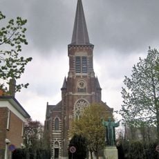
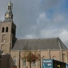
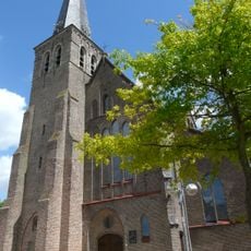
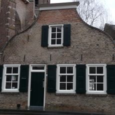
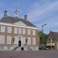
The Sint Lambertuskerk church sits at the heart of the town and displays architectural features rooted in local building methods. The building reflects the craftsmanship tradition that has been carried on in this region for generations.

The community of curious travelers

AroundUs brings together thousands of curated places, local tips, and hidden gems, enriched daily by 60,000 contributors worldwide.

Start exploring
Location
Elevation above the sea
8 m
Shares border with
Moerdijk, Breda, Rucphen, Halderberge, Zundert
Phone
GPS coordinates
51.57060,4.63560
Latest update
December 20, 2025 03:01
« Etten-Leur - Municipality in North Brabant, Netherlands » is provided by Around Us (aroundus.com). Images and texts are derived from Wikimedia project under a Creative Commons license. You are allowed to copy, distribute, and modify copies of this page, under the conditions set by the license, as long as this note is clearly visible.

Discover hidden gems everywhere you go!

From secret cafés to breathtaking viewpoints, skip the crowded tourist spots and find places that match your style. Our app makes it easy with voice search, smart filtering, route optimization, and insider tips from travelers worldwide. Download now for the complete mobile experience.

Around Us App Screenshot

A unique approach to discovering new places

Le Figaro

All the places worth exploring

France Info

A tailor-made excursion in just a few clicks

20 Minutes

Around Us
Travel Guide & Maps
Download

Send to your phone

QR Code
1

Open the camera app on your mobile.

2

Point at the QR code with your camera. A notification will appear.

3

Tap the notification to open the link.