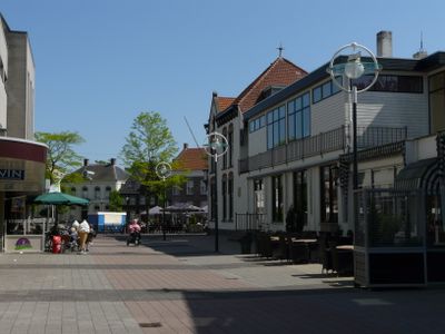
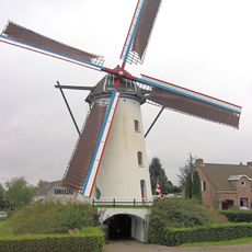
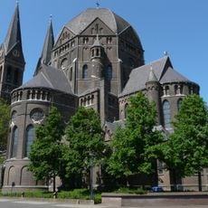
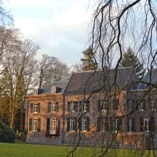
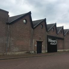
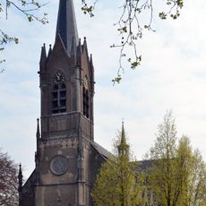
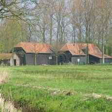
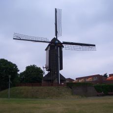
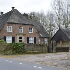
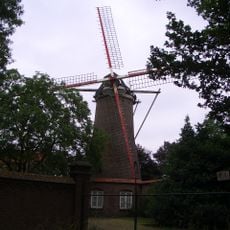
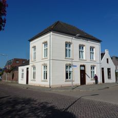
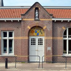
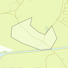
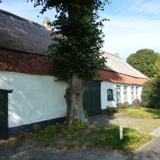
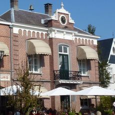
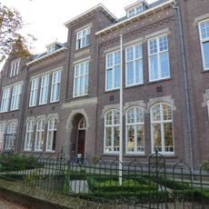
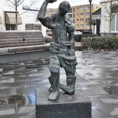
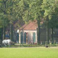
Geldrop-Mierlo, municipality in the Netherlands
Location: North Brabant
Inception: January 1, 2004
Elevation above the sea: 19 m
Shares border with: Nuenen, Gerwen en Nederwetten, Helmond, Someren, Valkenswaard, Eindhoven, Heeze-Leende
Phone: +31402893893
Email: gemeente@geldrop-mierlo.nl
Website: http://geldrop-mierlo.nl
GPS coordinates: 51.43360,5.58810
Latest update: March 4, 2025 18:20
Dierenrijk
2.3 km
't Nupke
2.9 km
Sint-Brigidakerk
2.5 km
Geldrop Castle
2.3 km
Watermill at Kollen
3.7 km
Watermill at Opwetten
5 km
Geldrop railway station
3 km
Televisietoren Mierlo
1.3 km
Weverijmuseum Geldrop
2.1 km
Saint Lucia Church
2.2 km
Urkhovense Zeggen
3.7 km
Standerdmolen Mierlo
2.4 km
Oude raadhuis
2.2 km
Sint Jozefkerk
1.7 km
H.H. Maria en Brigidakerk
3.6 km
Geldropse Watermolen
2.1 km
Huis te Coll, Eindhoven
3.8 km
Elderse Molen
2.6 km
St. Vincentiusgebouw (Geldrop)
2.3 km
Statue of Sacred Heart of Jesus Christ
2.5 km
Huize Karelstein
2.2 km
Patronaat Sint Lucia, Mierlo
2.2 km
Rijksbeschermd gezicht 't Broek
2 km
Kasteelboerderij
2.2 km
Voormalig raadhuis Geldrop
2.3 km
Nazarethschool
2.7 km
Vrijheidsbeeld
2.3 km
Kasteelboerderij 't Goor
2.4 kmReviews
Visited this place? Tap the stars to rate it and share your experience / photos with the community! Try now! You can cancel it anytime.
Discover hidden gems everywhere you go!
From secret cafés to breathtaking viewpoints, skip the crowded tourist spots and find places that match your style. Our app makes it easy with voice search, smart filtering, route optimization, and insider tips from travelers worldwide. Download now for the complete mobile experience.
A unique approach to discovering new places❞
— Le Figaro
All the places worth exploring❞
— France Info
A tailor-made excursion in just a few clicks❞
— 20 Minutes