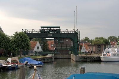
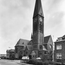
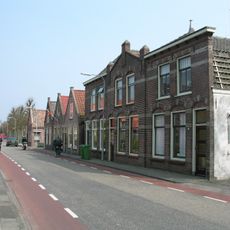
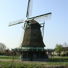
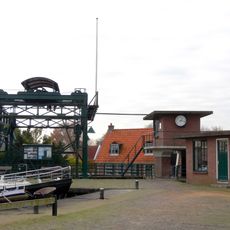
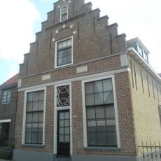
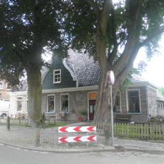
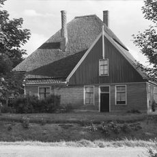
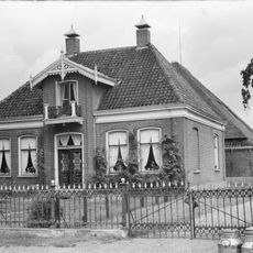
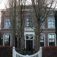
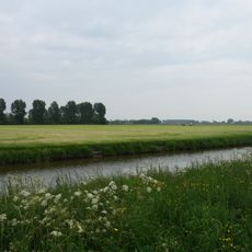
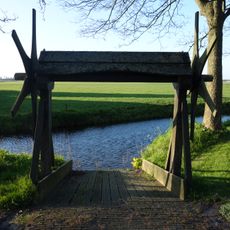
Stede Broec, municipality in North Holland, the Netherlands
Location: North Holland
Inception: January 1, 1979
Website: https://www.stedebroec.nl/
Shares border with: Medemblik, Enkhuizen, Drechterland, Lelystad
Phone: +31228510111
Email: gemeente@stedebroec.nl
Website: https://stedebroec.nl
GPS coordinates: 52.70060,5.22530
Latest update: March 6, 2025 09:31
Zesstedenweg 159, Grootebroek
391 m
Sint-Nicolaaskerk
1.4 km
Westeinde
2.6 km
Ceres
1.9 km
Overhaal
2.3 km
Oostergouw
2.7 km
Snouck van Loosen Farm
2.8 km
Johannes de Doperkerk
350 m
De Buurt
2.6 km
Burial mount Grootebroek
1.1 km
Hervormde Kerk
541 m
Westerbuurt
2.5 km
Grootslag
2.2 km
Buurt 11, Venhuizen
2.6 km
Burgemeesterwoning
2.7 km
Sint-Nicolaaskerk
1.4 km
Zesstedenweg 233, Grootebroek
721 m
Terrein waarin overblijfselen van nederzettingen
1.5 km
Stelphoeve met ingezwenkte houten topgevel boven de kroonlijst
535 m
Wandelaar met Stok
827 m
De Buurt 1, Venhuizen
2.6 km
De Buurt 62, Venhuizen
2.6 km
Pastorie
495 m
Terrein waarin overblijfselen van bewoning en begraving
1.6 km
Overhaal
2.9 km
Hoofdstraat 294, Bovenkarspel
2 km
Toren van de hervormde kerk
541 m
Bevrijdingsmonument
801 mReviews
Visited this place? Tap the stars to rate it and share your experience / photos with the community! Try now! You can cancel it anytime.
Discover hidden gems everywhere you go!
From secret cafés to breathtaking viewpoints, skip the crowded tourist spots and find places that match your style. Our app makes it easy with voice search, smart filtering, route optimization, and insider tips from travelers worldwide. Download now for the complete mobile experience.
A unique approach to discovering new places❞
— Le Figaro
All the places worth exploring❞
— France Info
A tailor-made excursion in just a few clicks❞
— 20 Minutes