Chest opened
+${chestReward.xp} XP
Explorer
NOUVEAU ×${chestReward.collectible.quantity}
tapez pour fermer
Chest locked

Open chests in the app

Around Us is built for your phone — chests unlock when you walk, explore and capture nearby places.

Enable Location

We need your location to show you interesting places around you

Discover nearby places

Find interesting locations and hidden gems around you

Precise directions

Get accurate directions and distances to places

Your location is never shared with other users. It's only used when you tap the location button.

Log in to your account

Start exploring — it's free

Trusted by 72,878 travelers worldwide

Continue with Google
Continue with Apple
or

We will send you a code to connect

By continuing, you accept our Terms and Conditions and our Privacy Policy

Check your inbox

We've sent a pincode in your inbox. Please enter the code below.

Discussion Reviews Photo
14.2k Popularity

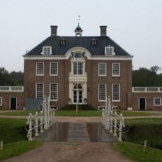
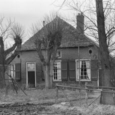
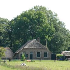
't Harde, Military village in Gelderland, Netherlands.

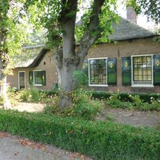
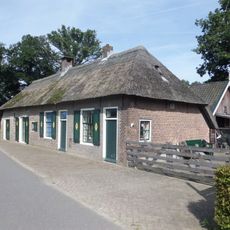
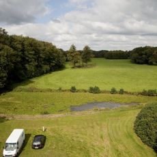
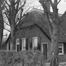
't Harde is a village in Gelderland situated at the edge of Veluwe forest, marked by a military base and an artillery training ground. The settlement spreads across natural areas and is deeply shaped by military presence in daily life.

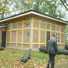
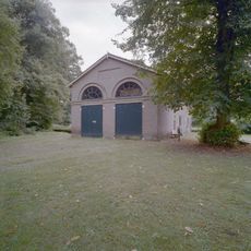
A military facility built at Woldberg in 1875 sparked the settlement's growth, transforming sandy uninhabited terrain into a residential area. This military foundation set the stage for the village's development.

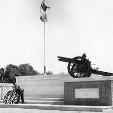
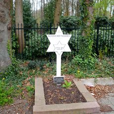
The Artillery Monument in the village commemorates fallen military personnel from World War II, Dutch East Indies conflicts, and the Korean War.

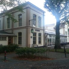
The train station offers regular connections to other cities, making the village easily accessible. The military base serves as the main employer and shapes daily life in the area.

The name refers to solid ground formed by glacial gravel deposits, which set it apart from surrounding historical wetlands. This geological feature was crucial for settlement and growth.

The community of curious travelers

AroundUs brings together thousands of curated places, local tips, and hidden gems, enriched daily by 60,000 contributors worldwide.

Start exploring
Location
GPS coordinates
52.41530,5.88080
Latest update
December 7, 2025 20:23
Around this place
Landgoed Zwaluwenburg
Netherlands

Landgoed Zwaluwenburg

2 km
Nederlands Artillerie Museum
Netherlands

Nederlands Artillerie Museum

3.9 km
Herdenkingsmonument
Netherlands

Herdenkingsmonument

3 km
De Rozenberg
Netherlands

De Rozenberg

1.9 km
Bovenstraatweg 61, Oldebroek
Netherlands

Bovenstraatweg 61, Oldebroek

2.1 km
Oude Bovendwarsweg 37, 't Harde
Netherlands

Oude Bovendwarsweg 37, 't Harde

539 m
Boerderij onder rieten wolfdak en met vensters, waarin 30-ruitsroedenverdeling
Netherlands

Boerderij onder rieten wolfdak en met vensters, waarin 30-ruitsroedenverdeling

2.5 km
Bovendwarsweg 61, 't Harde
Netherlands

Bovendwarsweg 61, 't Harde

1.4 km
Westbroek
Netherlands

Westbroek

2 km
Kleine veluwse boerderij onder rieten wolfsdak, eerste helft 19e eeuw
Netherlands

Kleine veluwse boerderij onder rieten wolfsdak, eerste helft 19e eeuw

1.9 km
Boerderij onder hoog, rieten wolfsdak, dat uitsteekt boven de voorgevel
Netherlands

Boerderij onder hoog, rieten wolfsdak, dat uitsteekt boven de voorgevel

2.4 km
Bovenstraatweg 80, Oldebroek
Netherlands

Bovenstraatweg 80, Oldebroek

2.2 km
Huis Schouwenburg
Netherlands

Huis Schouwenburg

2.1 km
Oude Harderwijkerweg 57, Doornspijk
Netherlands

Oude Harderwijkerweg 57, Doornspijk

3.3 km
Landgoed Zwaluwenburg
Netherlands

Landgoed Zwaluwenburg

2.1 km
Zwaluwenburg: tuin- en parkaanleg
Netherlands

Zwaluwenburg: tuin- en parkaanleg

1.8 km
Zwaluwenburg: toegangshek met hekwerk
Netherlands

Zwaluwenburg: toegangshek met hekwerk

2 km
Zwaluwenburg: rentmeesterswoning met entree
Netherlands

Zwaluwenburg: rentmeesterswoning met entree

1.8 km
Zwaluwenburg: entree
Netherlands

Zwaluwenburg: entree

2.4 km
Huis Schouwenburg: landhuis
Netherlands

Huis Schouwenburg: landhuis

2.1 km
Huis Schouwenburg: landschappelijke aanleg
Netherlands

Huis Schouwenburg: landschappelijke aanleg

2.2 km
Huis Schouwenburg: koetshuis
Netherlands

Huis Schouwenburg: koetshuis

2.1 km
Witgepleisterd landarbeidershuisje onder met rietgedekt schilddak
Netherlands

Witgepleisterd landarbeidershuisje onder met rietgedekt schilddak

532 m
Artillerie Schietkamp
Netherlands

Artillerie Schietkamp

3 km
Boerderij met de nokas haaks op de weg gesitueerd
Netherlands

Boerderij met de nokas haaks op de weg gesitueerd

3.8 km
Boerderij van het type hallehuis
Netherlands

Boerderij van het type hallehuis

3.3 km
Bovenstraatweg 56, Oldebroek
Netherlands

Bovenstraatweg 56, Oldebroek

2.9 km
Monument voor Theodore Bachenheimer
Netherlands

Monument voor Theodore Bachenheimer

660 m
Show the full map
Reviews
Share your experience

No review yet

Discussions
Start a discussion...

No discussion yet

« 't Harde - Military village in Gelderland, Netherlands » is provided by Around Us (aroundus.com). Images and texts are derived from Wikimedia project under a Creative Commons license. You are allowed to copy, distribute, and modify copies of this page, under the conditions set by the license, as long as this note is clearly visible.

Discover hidden gems everywhere you go!

From secret cafés to breathtaking viewpoints, skip the crowded tourist spots and find places that match your style. Our app makes it easy with voice search, smart filtering, route optimization, and insider tips from travelers worldwide. Download now for the complete mobile experience.

Around Us App Screenshot

A unique approach to discovering new places

Le Figaro

All the places worth exploring

France Info

A tailor-made excursion in just a few clicks

20 Minutes

Around Us
Travel Guide & Maps
Download

Send to your phone

QR Code
1

Open the camera app on your mobile.

2

Point at the QR code with your camera. A notification will appear.

3

Tap the notification to open the link.