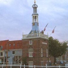
Noordhollandsch Kanaal, Historic canal in North Holland, Netherlands
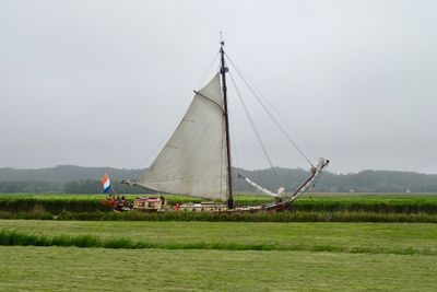
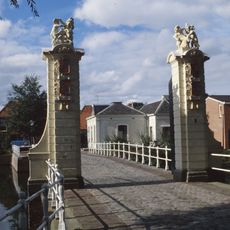
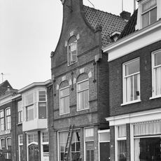
The Noordhollandsch Kanaal is a waterway linking Amsterdam to Den Helder, running through flat polder landscapes and several towns along the route. The waterway features locks, embankments, and stretches that manage boat traffic and water levels throughout the network.
King William I commissioned the waterway in 1819 to improve navigation between Amsterdam and the Zuiderzee, completing it by 1824. The project formed part of broader 19th-century efforts to modernize the Netherlands' water transport network.
The waterway features traditional floating bridges called vlotbruggen that still operate today, showing how people engineered simple solutions for crossing water. Locals and visitors use the banks and towpaths as daily routes, making the canal a living part of how communities move and gather.
The waterway is accessible on foot and by bicycle along the banks and towpaths that run beside it. Visit during daylight hours and fair weather to fully enjoy the views and observe water traffic along the route.
The waterway incorporates sections of ancient polder rings like the Beemster and Schermer, following where the old Rekere River once flowed. This surprising blend of historic landscape patterns into modern infrastructure shows how Dutch engineers adapted rather than replaced what was already there.
The community of curious travelers
AroundUs brings together thousands of curated places, local tips, and hidden gems, enriched daily by 60,000 contributors worldwide.