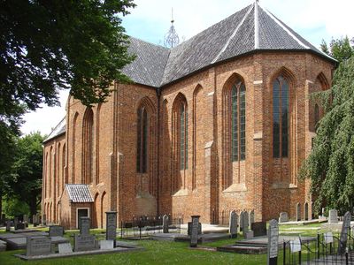
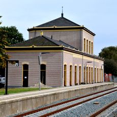
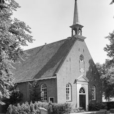
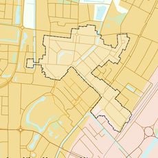
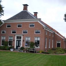
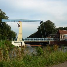
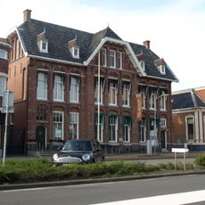
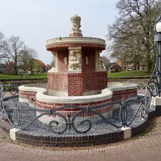
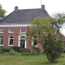
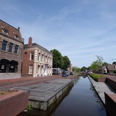
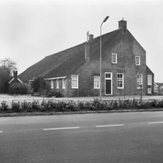
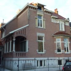
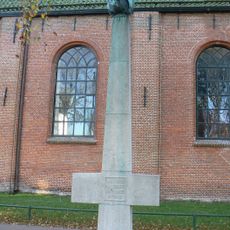
Menterwolde, former municipality in the province of Groningen, the Netherlands
Inception: January 1, 1990
Elevation above the sea: 2 m
Shares border with: Slochteren, Veendam
Website: http://menterwolde.nl
GPS coordinates: 53.13330,6.86670
Latest update: March 11, 2025 13:00
Veenkoloniaal Museum
3 km
Noord-Nederlands Trein & Tram Museum
2.9 km
Nederlands Hervormde Kerk
3.2 km
Nederlands Hervormde Kerk
379 m
Immanuëlkerk
333 m
Rijksbeschermd gezicht Tusschendiepen
3 km
Gemeentehuis
3.3 km
Kantongerecht Zuidbroek
3 km
Villa in expressionistische bouwstijl
3.5 km
Beneden Oosterdiep 63, Veendam
3.2 km
Station Veendam: stationsgebouw met dienstwoning
3.5 km
Hereweg 83, Meeden
3.5 km
Schaive Klabbe
973 m
Beneden Oosterdiep 59, Veendam
3.2 km
Borgercompagnie 109, Borgercompagnie
3.6 km
Hereweg 85, Meeden
3.5 km
Winkelwoning met aangebouw achterhuis in neo-renaissancistische stijl
3.5 km
Herenhuis in eclectische stijl
3.4 km
Wilkensfontein
2.9 km
Anthony Winkler Prins
3 km
Hereweg 87, Meeden
3.5 km
Voorm. bankgebouw in een aan de Art Nouveau verwante stijl
3.3 km
Indië-monument
3.3 km
Beneden Oosterdiep 126, Veendam
2.9 km
Voorm. HBS
3 km
Bocht Oosterdiep 17, Veendam
3.5 km
Voorm. HBS, conciërgewoning
3 km
Monument in het Julianapark
3.1 kmReviews
Visited this place? Tap the stars to rate it and share your experience / photos with the community! Try now! You can cancel it anytime.
Discover hidden gems everywhere you go!
From secret cafés to breathtaking viewpoints, skip the crowded tourist spots and find places that match your style. Our app makes it easy with voice search, smart filtering, route optimization, and insider tips from travelers worldwide. Download now for the complete mobile experience.
A unique approach to discovering new places❞
— Le Figaro
All the places worth exploring❞
— France Info
A tailor-made excursion in just a few clicks❞
— 20 Minutes