Heille, Rural hamlet in Sluis, Netherlands
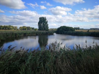
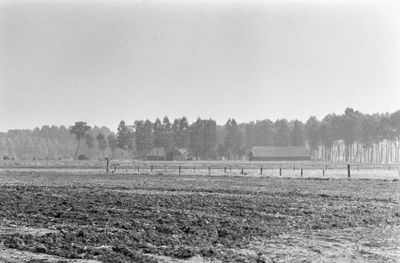
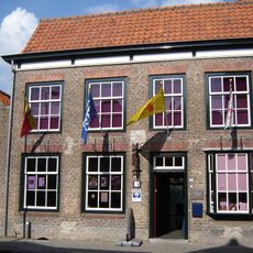
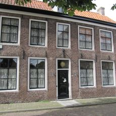
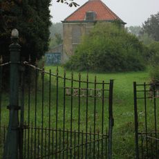
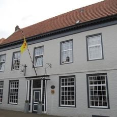
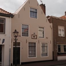
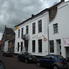
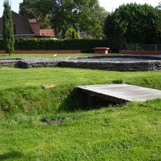
Heille is a rural hamlet in the municipality of Sluis near the Belgian border, characterized by farmland and traditional agricultural buildings. Waterways crisscross the flat landscape, forming an essential part of the settlement's infrastructure.
The settlement was an independent municipality until 1880, when administrative reforms integrated it into the larger municipality of Sluis. This transition ended its local political autonomy and brought it under a broader administrative structure.
The settlement reflects a farming culture visible in the scattered farmsteads and waterways that still shape daily life. Local families have maintained their connection to the land and water for generations, making agriculture the foundation of community identity.
The settlement is best reached by car via local roads from nearby Aardenburg. The flat terrain makes it well suited for cycling exploration, following country roads and waterside paths through the surrounding farmland.
The settlement preserves detailed civil registries documenting births, marriages, and deaths, making it valuable for genealogical research in the Zeeland region. These records offer insights into the lives of generations of residents and their family connections.
Location: Sluis
Address: Heille, 4524 KW Sluis, Netherlands
GPS coordinates: 51.26653,3.41304
Latest update: December 14, 2025 18:14
Saint Bavo Church
2.6 km
Kasteel van Middelburg
1.3 km
Sint-Petrus en Pauluskerk
1.2 km
Heilige Maria Hemelvaartkerk
2.2 km
Het Lam (Aardenburg)
2.4 km
Sint-Ritakerk
2.6 km
Poedermolen
1.2 km
Pillory of Middelburg in Flanders
1.3 km
Westpoort
2.2 km
Burgerweeshuis
2.5 km
Marktstraat 18, Aardenburg
2.6 km
Tuimelsteenstraat 18, Aardenburg
2.6 km
Toegangshek, vermoedelijk rond 1885 gebouwd
1.3 km
Villa
1.4 km
Kruisschans
2.1 km
Weststraat 63, Aardenburg
2.3 km
Weststraat 75, Aardenburg
2.2 km
Weststraat 38, Aardenburg
2.4 km
Weststraat 85, Aardenburg
2.2 km
Weststraat 22, Aardenburg
2.5 km
Weststraat 55, Aardenburg
2.3 km
Terrein waarin de fundering van een toegangspoort met aansluitende vestingmuur en sporen van een spitsgracht, een toegangsweg en een brug
2.4 km
Perceelsgedeelte van een tweebeukig pand met dubbele trapgevel aan de straat
2.5 km
Weststraat 56, Aardenburg
2.3 km
Weststraat 90, Aardenburg
2.2 km
Weststraat 79, Aardenburg
2.2 km
Vijf traveeën breed pand met gepleisterde lijstgevel
2.5 km
Park in Engelse landschapsstijl
1.5 kmVisited this place? Tap the stars to rate it and share your experience / photos with the community! Try now! You can cancel it anytime.
Discover hidden gems everywhere you go!
From secret cafés to breathtaking viewpoints, skip the crowded tourist spots and find places that match your style. Our app makes it easy with voice search, smart filtering, route optimization, and insider tips from travelers worldwide. Download now for the complete mobile experience.
A unique approach to discovering new places❞
— Le Figaro
All the places worth exploring❞
— France Info
A tailor-made excursion in just a few clicks❞
— 20 Minutes