Eem, River in central Utrecht province, Netherlands.
The Eem is a river in Utrecht province, flowing from the Vallei Canal outflow to the Eemmeer lake near Eemdijk. It runs through a flat polder landscape in the heart of the Netherlands.
The river gave its name to a geological period after researchers in the 19th century found marine clay layers in the area. These deposits, known as the Eemian formation, became a reference point for European climate history.
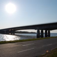
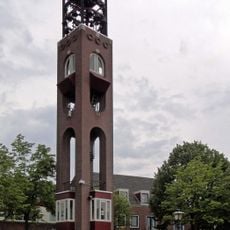
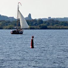
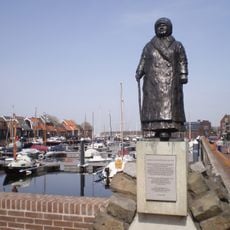
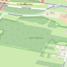
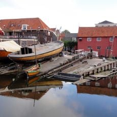
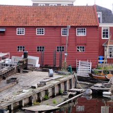
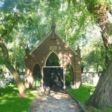
The river is popular with cyclists and walkers who use the paths along its banks to move between the villages of the region. On quiet days, you can see boats on the water and families on the green areas beside it.
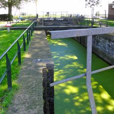
In summer, water is pumped into the river from the nearby Niederrijn to keep the flow steady. The banks are accessible on foot or by bike throughout the year, with well-marked paths on both sides.
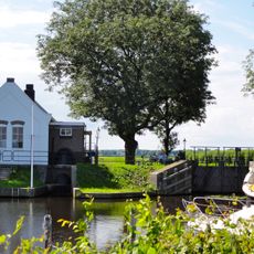
The riverbed sits higher than the surrounding polders because the ground around it has sunk over time. Standing on the bank, you look out over lower land on both sides, which feels strange in a flat plain.
The community of curious travelers
AroundUs brings together thousands of curated places, local tips, and hidden gems, enriched daily by 60,000 contributors worldwide.