Hondsrug, Glacial hill chain in Drenthe, Netherlands
The Hondsrug is a glacial ridge that stretches approximately 70 kilometers from Groningen to Emmen through forests and heathlands in the northern Netherlands. This formation consists of sand and boulders deposited during ancient ice movements that continue to shape the terrain's structure.
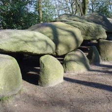
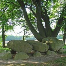
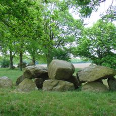
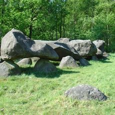
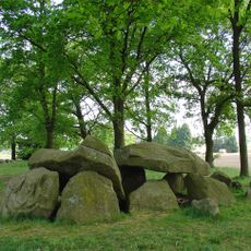
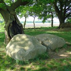
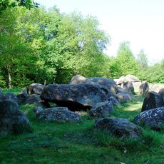
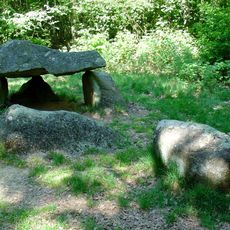
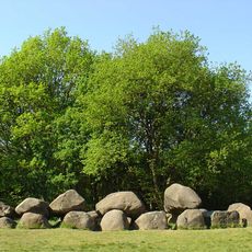
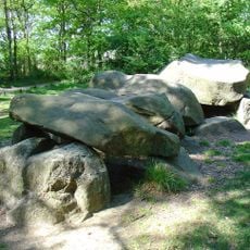
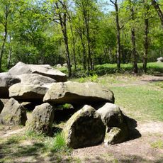
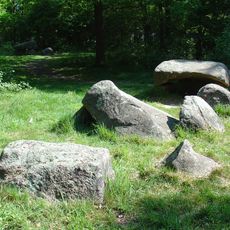
The landscape took shape approximately 150,000 years ago during the Saale glaciation, when ice sheets deposited sediment and left behind enormous boulders. This geological transformation created the foundation that later populations would use for their megalithic constructions.
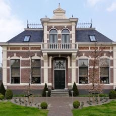
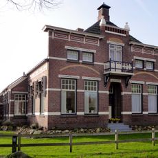
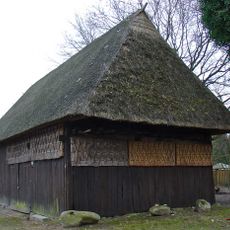
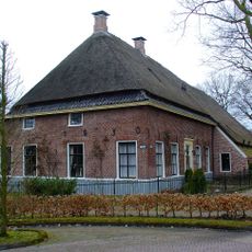
The megalithic tombs scattered across the area reveal how ancient peoples used the glacial boulders to build lasting monuments that still dominate the landscape today. These structures continue to shape how visitors understand and move through the land.
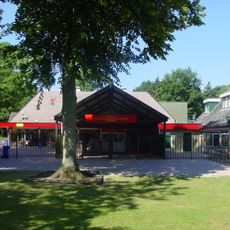
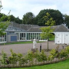
The area can be explored through a network of marked cycling and walking paths, with horseback routes also available throughout the region. You can also visit the Hunebed Centre to learn more about the geology and prehistoric monuments in the area.
The region is designated a UNESCO Global Geopark, which focuses on explaining the geological story of the landscape scientifically. A tree top path offers visitors an unusual perspective on the landform and how it connects to the surrounding forest ecosystem.
The community of curious travelers
AroundUs brings together thousands of curated places, local tips, and hidden gems, enriched daily by 60,000 contributors worldwide.