Chest opened
+${chestReward.xp} XP
Explorer
NOUVEAU ×${chestReward.collectible.quantity}
tapez pour fermer
Chest locked

Open chests in the app

Around Us is built for your phone — chests unlock when you walk, explore and capture nearby places.

Enable Location

We need your location to show you interesting places around you

Discover nearby places

Find interesting locations and hidden gems around you

Precise directions

Get accurate directions and distances to places

Your location is never shared with other users. It's only used when you tap the location button.

Staatsliedenbuurt

Log in to your account

Start exploring — it's free

Trusted by 72,885 travelers worldwide

Continue with Google
Continue with Apple
or

We will send you a code to connect

By continuing, you accept our Terms and Conditions and our Privacy Policy

Check your inbox

We've sent a pincode in your inbox. Please enter the code below.

Staatsliedenbuurt
Discussion Reviews 1 Photos
11.5k Popularity

Staatsliedenbuurt, Residential district in Amsterdam-West, Netherlands.

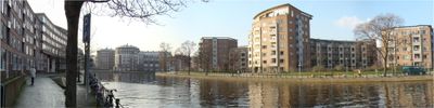
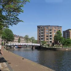
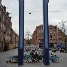
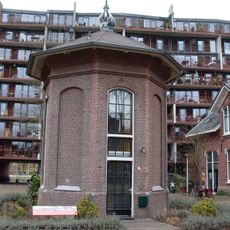
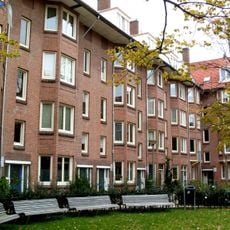
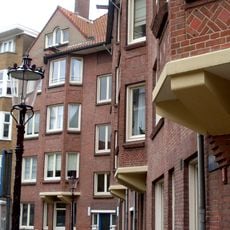
Staatsliedenbuurt is a residential neighborhood in Amsterdam-West situated south of the Haarlemmertrekvaart canal and west of the Singelgracht waterway. The area features numerous apartment buildings and homes constructed during the 20th century that define its character.

The area emerged following Amsterdam's annexation of the northeastern section of Sloten municipality in 1877. Streets were named after Dutch statesmen from the 18th and 19th centuries, reflecting the city's historical connections to that period.

The neighborhood became a focal point for the Dutch squatter movement during the 1980s, reflecting housing struggles and social activism that reshaped Amsterdam's communities. This period left a mark on local identity and residents' sense of solidarity.

The neighborhood connects easily to central Amsterdam via regular tram lines, while grocery stores and local shops meet everyday needs. The flat terrain makes it comfortable for exploring by foot or bicycle.

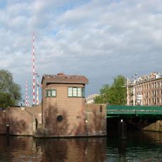
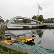
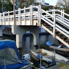
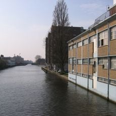
The area contains the Kattensloot and Kostverlorenvaart waterways, which once formed vital transportation links between Amsterdam and surrounding regions. These historic channels remain visible today and contribute to the neighborhood's green character.

The community of curious travelers

AroundUs brings together thousands of curated places, local tips, and hidden gems, enriched daily by 60,000 contributors worldwide.

Start exploring
Location
GPS coordinates
52.38250,4.87310
Latest update
March 5, 2026 21:06
Reviews
Share your experience

No review yet

Discussions
Start a discussion...

No discussion yet

« Staatsliedenbuurt - Residential district in Amsterdam-West, Netherlands » is provided by Around Us (aroundus.com). Images and texts are derived from Wikimedia project under a Creative Commons license. You are allowed to copy, distribute, and modify copies of this page, under the conditions set by the license, as long as this note is clearly visible.

Discover hidden gems everywhere you go!

From secret cafés to breathtaking viewpoints, skip the crowded tourist spots and find places that match your style. Our app makes it easy with voice search, smart filtering, route optimization, and insider tips from travelers worldwide. Download now for the complete mobile experience.

Around Us App Screenshot

A unique approach to discovering new places

Le Figaro

All the places worth exploring

France Info

A tailor-made excursion in just a few clicks

20 Minutes

Around Us
Travel Guide & Maps
Download

Send to your phone

QR Code
1

Open the camera app on your mobile.

2

Point at the QR code with your camera. A notification will appear.

3

Tap the notification to open the link.