Watergraafsmeer, Former municipality and polder in Amsterdam-Oost, Netherlands.
Watergraafsmeer is a former municipality and polder in east Amsterdam created from the draining of a lake. The land sits about 16 feet (5 meters) below the normal water level and is protected by a network of dikes and ditches.
Land reclamation started in 1629 with major engineering works to transform the lake into farmland. The area developed as an independent municipality until it merged with Amsterdam in 1921.
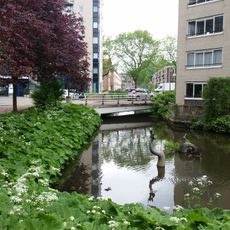
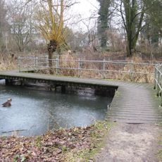
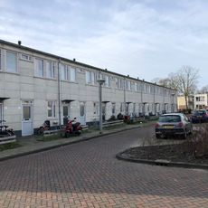
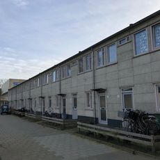
The name Watergraafsmeer refers to the water count, a historical official who oversaw water management in the polder. The area still displays the typical Dutch landscape with wide, flat horizons and scattered homes adapted to the waterways.
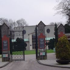
The area connects to central Amsterdam through main roads Middenweg and Kruislaan with several public transit options. Cycling and walking are easy ways to explore the neighborhood and its waterways.
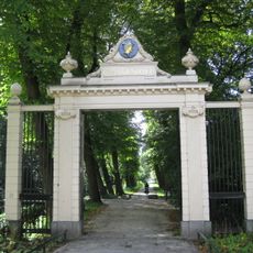
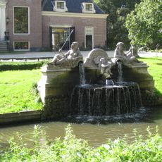
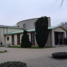
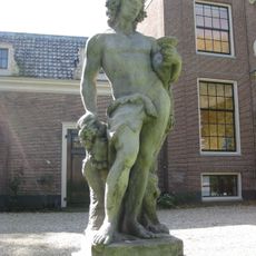
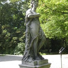
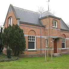
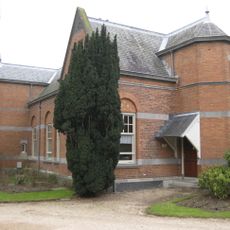
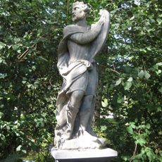
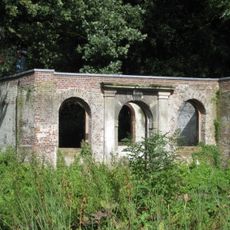
The Frankendael estate is the last remaining country house from many grand estates that defined the area during the 17th and 18th centuries. It stands as a window into the lives of the wealthy families who owned gardens and farms here.
The community of curious travelers
AroundUs brings together thousands of curated places, local tips, and hidden gems, enriched daily by 60,000 contributors worldwide.