Hertogswetering, Historic brook in North Brabant, Netherlands
The Hertogswetering is an artificial drainage brook that runs from its starting point near Grave to a pump station at Gewande. The system connects with smaller waterways and includes lock structures built at intervals to control water flow and prevent flooding.
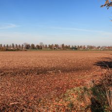
The waterway was dug in the early 1300s to make swampy areas suitable for farming and settlement. Its route followed an ancient dried riverbed of the Maas River, which meant less digging was needed.
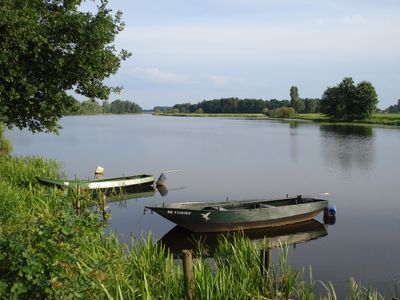
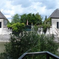
The name reflects its medieval role in draining land owned by nobility and religious institutions. Walking along the brook today, you notice scattered water structures that show how people managed the landscape for farming and settlement.
The brook is mostly accessible from roads running alongside it or from farm paths that follow its course. During drier months the water level drops noticeably, so visiting during wetter seasons gives you a better sense of how the system works.
At one point, the water passes under another canal through a siphon system built in the 1960s, preventing the channels from flooding each other. This hidden engineering solution shows how builders solved the puzzle of crossing waterways without mixing their separate drainage systems.
The community of curious travelers
AroundUs brings together thousands of curated places, local tips, and hidden gems, enriched daily by 60,000 contributors worldwide.