
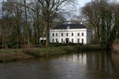
De Kolk, Sint-Oedenrode
Location: North Brabant
Location: Meierijstad
GPS coordinates: 51.56647,5.46452
Latest update: March 6, 2025 07:59
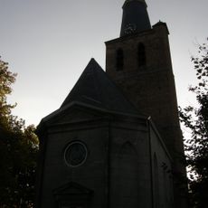
Knoptoren
405 m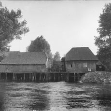
Borchmolen
172 m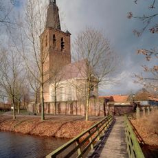
Nederlands Hervormde Kerk, Sint-Oedenrode
407 m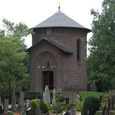
St. Oedenrode Roman Catholic Churchyard
423 m
Sint-Oedenrode
314 m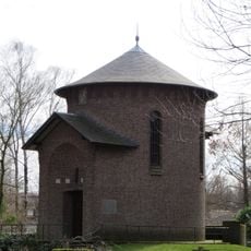
Kerkhof: kerkhofkapel
433 m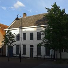
Herenhuis met gebosseerd gepleisterde lijstgevel
255 m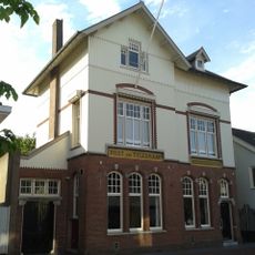
Postkantoor met dienstwoning
236 m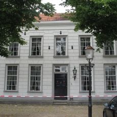
Herenhuis met gebosseerd gepleisterde lijstgevel onder schilddak
319 m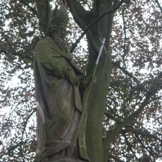
Kerkhof: beeld van Sint-Martinus
423 m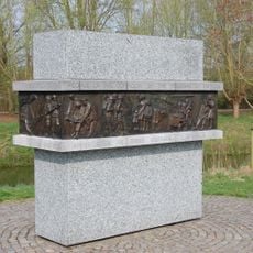
Monument to the Dutch
379 m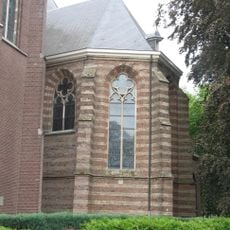
Choir Sint-Martinuskerk
419 m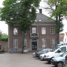
Woonhuis in Eclectische stijl
279 m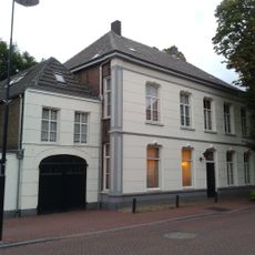
Woning annex koetshuis. 'Alkemade'
105 m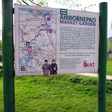
Airborne wandelpad
363 m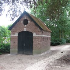
Kerkhof: schuur
423 m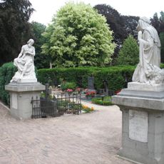
Begraafplaats van Sint-Oedenrode
423 m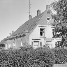
Voormalige pastorie
436 m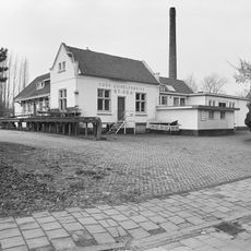
Voormalige zuivelfabriek
128 m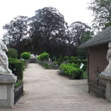
Kerkhof: aanleg
423 m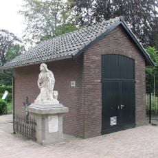
Kerkhof: baarhuisje
433 m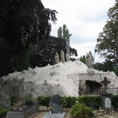
Kerkhof: calvarieberg
433 m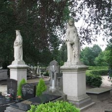
Kerkhof: acht neogotische grafmonumenten
423 m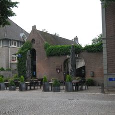
Koetshuis
279 m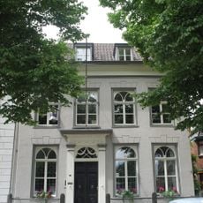
Herenhuis onder schilddak en met gepleisterde lijstgevel
309 m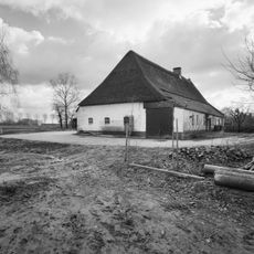
Dorpswoning met zadeldak tussen zijtopgevels
274 m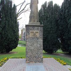
Bevrijdingsmonument
365 m
Dorpswoning met zadeldak tussen zijtopgevels
282 mVisited this place? Tap the stars to rate it and share your experience / photos with the community! Try now! You can cancel it anytime.
Discover hidden gems everywhere you go!
From secret cafés to breathtaking viewpoints, skip the crowded tourist spots and find places that match your style. Our app makes it easy with voice search, smart filtering, route optimization, and insider tips from travelers worldwide. Download now for the complete mobile experience.

A unique approach to discovering new places❞
— Le Figaro
All the places worth exploring❞
— France Info
A tailor-made excursion in just a few clicks❞
— 20 Minutes