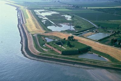
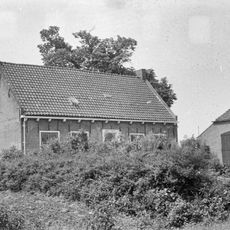
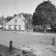
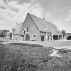
Ellewoutsdijk Fort, 19th century coastal fort in Borsele, Netherlands
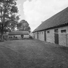
Ellewoutsdijk Fort is a hexagonal coastal defense structure in Borsele featuring 19 bombproof chambers arranged around a moat. The structure rises to 10 meters in height and occupies an area of approximately 80 by 110 meters.
The fort was built between 1835 and 1839 following Belgium's independence to defend the Westerschelde waterway. It formed part of a defensive network protecting the region alongside other fortifications in the area.
The fort served changing roles throughout its existence, each leaving traces in how the spaces are organized. Walking through it today, visitors can observe the marks of these different uses in the layout and details.
The fort is accessible from spring through fall on weekends and additional days during summer vacation, with guided or self-guided exploration available. Visitors should wear sturdy footwear as the interior features uneven terrain and historical stonework.
The fort functioned as a prison during World War II and later housed other categories of detainees in its bombproof chambers. This multipurpose history reveals itself through the layout and design of the interior spaces.
The community of curious travelers
AroundUs brings together thousands of curated places, local tips, and hidden gems, enriched daily by 60,000 contributors worldwide.