
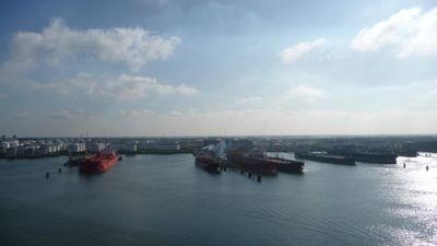
Zevende Petroleumhaven, port in Rotterdam, Netherlands
Location: Rotterdam
Part of: Port of Rotterdam
GPS coordinates: 51.92167,4.20667
Latest update: March 16, 2025 06:37
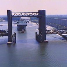
Calandbrug
2.7 km
Harmsenbrug
2.2 km
Brielse meer
2.1 km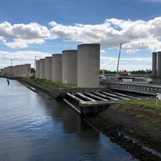
Rozenburg wind wall
2.8 km
Groote Kerk
3.1 km
Petrus en Pauluskerk, Maassluis
2.6 km
't Vliegend Hert
3.1 km
Sleepboothaven Maassluis
3.1 km
Wezerhaven
1.9 km
Elbe
2.8 km
Railway bridge Maassluis
2.9 km
Schansbrug
3.1 km
Maarland Noordzijde 4, Brielle
3.1 km
Maarland Noordzijde 5, Brielle
3.1 km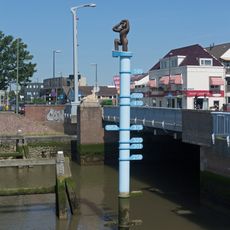
Vloedpaal
3 km
Weverskade 97, Maasland
2.6 km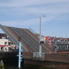
Koepaardbrug
3 km
Maarland Noordzijde 6, Brielle
3.1 km
Slagveld 52, Brielle
3.1 km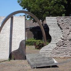
Herdenkingsmonument
3 km
Slagveld 51, Brielle
3.1 km
Marnixkade 4, Maassluis
3.1 km
Maarland Noordzijde 1, Brielle
3.1 km
Slagveld 54, Brielle
3.1 km
Marnixkade 1, Maassluis
3.1 km
Kerkplein 1, Maassluis
3.1 km
Slagveld 53, Brielle
3.1 km
Slagveld 47, Brielle
3.1 kmReviews
Visited this place? Tap the stars to rate it and share your experience / photos with the community! Try now! You can cancel it anytime.
Discover hidden gems everywhere you go!
From secret cafés to breathtaking viewpoints, skip the crowded tourist spots and find places that match your style. Our app makes it easy with voice search, smart filtering, route optimization, and insider tips from travelers worldwide. Download now for the complete mobile experience.

A unique approach to discovering new places❞
— Le Figaro
All the places worth exploring❞
— France Info
A tailor-made excursion in just a few clicks❞
— 20 Minutes