Bijlmerweide, Public park in Amsterdam-Zuidoost, Netherlands
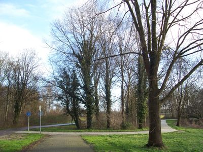
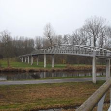
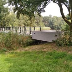
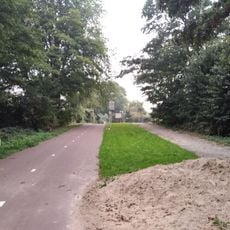
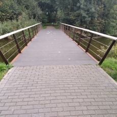
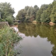
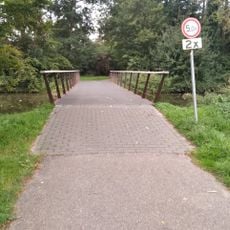
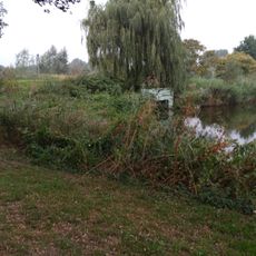
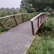
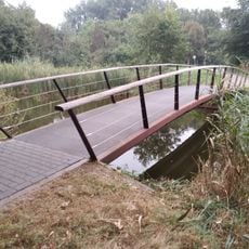
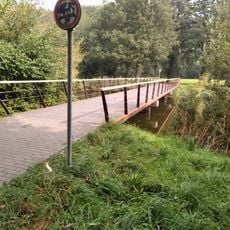
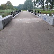
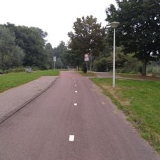
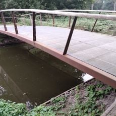
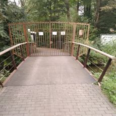
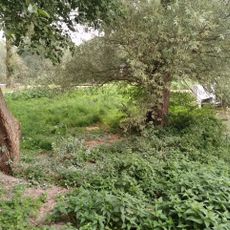
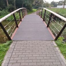
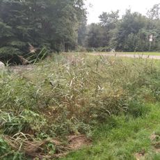
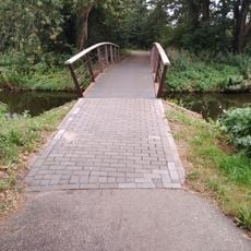
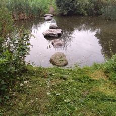
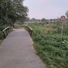
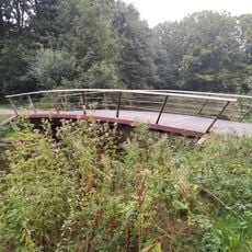
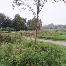
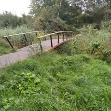
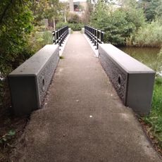
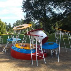
Bijlmerweide is a large natural park with walking paths, water features, and many bridges linking different sections together. The space includes recreational facilities such as a skate park and a children's course built from natural materials found locally.
The park was created during the 1970s as part of development in the Zuidoost district. A major renovation in 2014 rebuilt 19 bridges and improved water connections across the entire area.
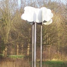
Art installations throughout the space, including modified traffic signs created by Peter Vial, are now officially recognized with plaques from the city. These works have become part of how people experience and move through the park.
The area is quite spread out with multiple entry points from different parts of the neighborhood. Walking is easiest when the ground is dry and the paths are clear.
An isolated island within the park is home to a wildlife rehabilitation center called 'Vogel- en zoogdierenopvang De Toevlucht'. The center cares for injured and vulnerable animals and remains connected to the surrounding landscape.
The community of curious travelers
AroundUs brings together thousands of curated places, local tips, and hidden gems, enriched daily by 60,000 contributors worldwide.