
Oudeschans, farm village in the Netherlands
Location: Westerwolde
Shares border with: Beerta
GPS coordinates: 53.13780,7.14000
Latest update: March 28, 2025 16:52
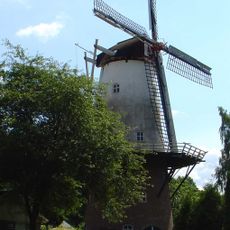
Veldkamp's Meuln
2.5 km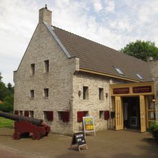
Vestingmuseum Oudeschans
91 m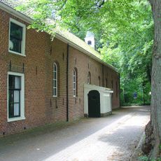
Nederlands Hervormde Kerk
31 m
Doodenbastion
220 m
Remkesheerd
3.2 km
Hamdijk 22, Nieuweschans
3.3 km
Hoofdweg 263, Bellingwolde
2.4 km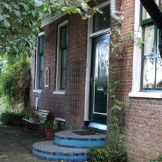
Hamdijk 49, Bad Nieuweschans
2.5 km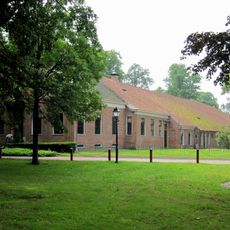
Het Wapen van Oudeschans
55 m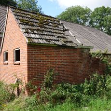
Stookhut
2.4 km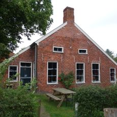
Wymeersterweg 1, Bellingwolde
2.4 km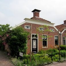
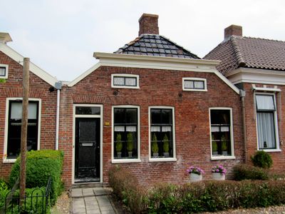
Voorstraat 22, Oudeschans
117 m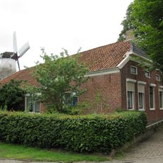
Hoofdweg 312, Bellingwolde
2.5 km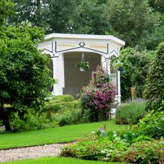
Hoofdweg 245, Bellingwolde
2.1 km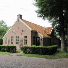
Hoofdweg 299, Bellingwolde
2.4 km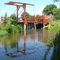
Vesting Oudeschans
234 m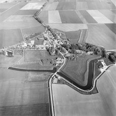
Bastionvormig terrein begrensd door de Aa
154 m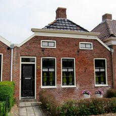
Voorstraat 20, Oudeschans
125 m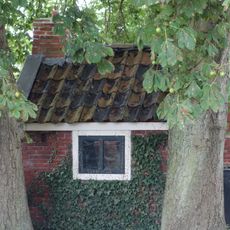
Stookhut
2.4 km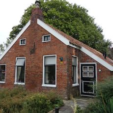
Wymeersterweg 2, Bellingwolde
2.4 km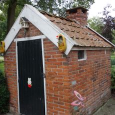
Stookhut
2.4 km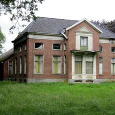
Hoofdweg 303, Bellingwolde
2.4 km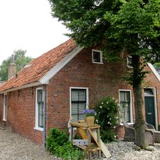
Pand onder zadeldak tegen puntgevel
140 m
Boerderij van het Oldambtster type
725 m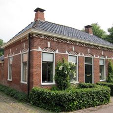
Voorstraat 12, Oudeschans
148 m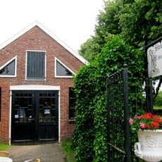
Stelmakerij
148 m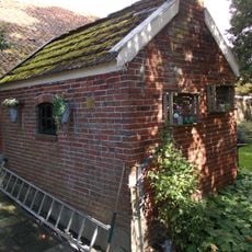
Hamdijk, stookhut
2.5 km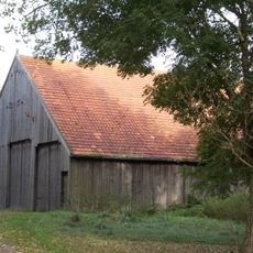
Hamdijk, bijschuur
2.5 kmVisited this place? Tap the stars to rate it and share your experience / photos with the community! Try now! You can cancel it anytime.
Discover hidden gems everywhere you go!
From secret cafés to breathtaking viewpoints, skip the crowded tourist spots and find places that match your style. Our app makes it easy with voice search, smart filtering, route optimization, and insider tips from travelers worldwide. Download now for the complete mobile experience.

A unique approach to discovering new places❞
— Le Figaro
All the places worth exploring❞
— France Info
A tailor-made excursion in just a few clicks❞
— 20 Minutes