Laagte van Pijnenburg, Nature area between Baarn, Soest, Bilthoven and Hilversum, Netherlands
Laagte van Pijnenburg is a nature area in a depression between Baarn, Soest, Bilthoven and Hilversum with wet landscapes and peat bogs. The terrain forms a lower section of the Utrecht Ridge and separates the Utrecht region from the Gooi area through natural habitats.
During the Saalian ice age, glaciers formed elevated areas like the Eng of Soest and Roosterbos, creating valleys that became peat bogs. These lowlands developed into the wetlands that shape the landscape today.
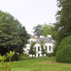
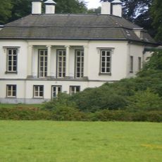
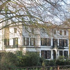
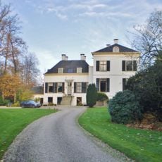
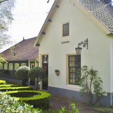
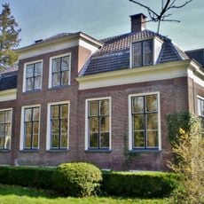
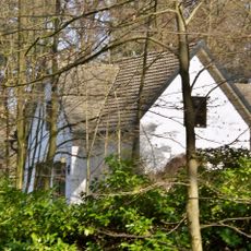
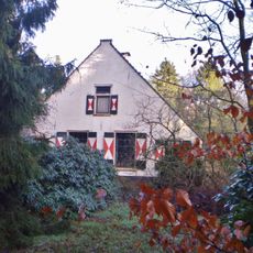
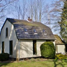
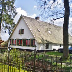
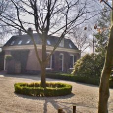
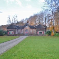
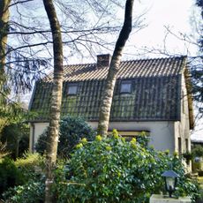
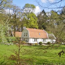
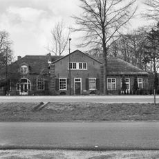
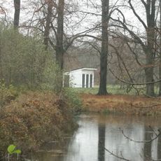
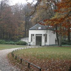
Several country estates dot this landscape, with owners deliberately aligning their views to the natural terrain. These properties shaped how people lived within the region and remain visible markers of past settlement patterns.
A network of walking paths connects various observation points throughout the nature area for exploring different ecosystems. Wear sturdy footwear as many trails pass through wet terrain and soft ground.
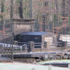
The Pijnenburger Grift canal, built in 1565, was a crucial waterway for transporting peat to the Eem river. Today some walking paths follow this historic waterway, revealing traces of its former economic importance.
The community of curious travelers
AroundUs brings together thousands of curated places, local tips, and hidden gems, enriched daily by 60,000 contributors worldwide.