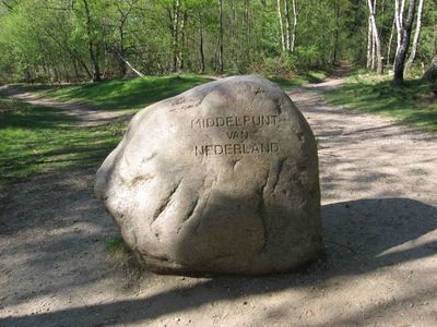
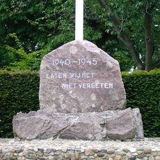
Geografisch middelpunt van Nederland, Geographical center marker in Lunteren, Netherlands
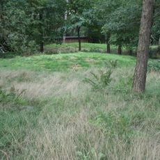
The geographical center of the Netherlands is marked by three large stones encircled with steel rings on Lindeboomsberg near Lunteren. They represent the calculated middle point between all the country's borders.
The geographical center monument was established in 1965 by the local tourism office after calculating equal distances to all corners of the Netherlands. The project aimed to mark the exact center of the country's territory.
The marker stones at Lindeboomsberg link to local stories about ancient calendar stones that once occupied this elevated spot.
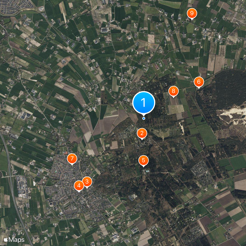
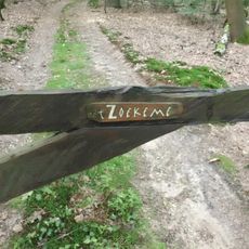
The location is accessible via three different walking trails and stands near junction 75, across from the entrance to De Goudsberg Recreation Center. The paths are clearly marked and manageable for most visitors.
The center marker stones were temporarily taken in 1980 by agriculture students who claimed that natural gas extraction had shifted the middle point southward. The incident revealed how creatively young people engaged with the site's meaning.
The community of curious travelers
AroundUs brings together thousands of curated places, local tips, and hidden gems, enriched daily by 60,000 contributors worldwide.