
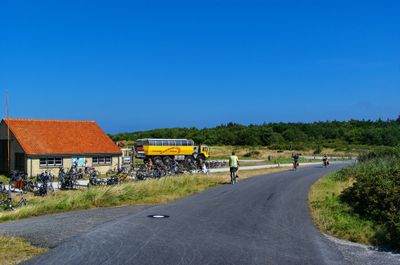
Duinen Vlieland, protected area in the Netherlands
Location: Vlieland
Inception: 2009
GPS coordinates: 53.28100,5.00980
Latest update: March 27, 2025 11:29
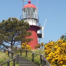
Vuurduin
3.6 km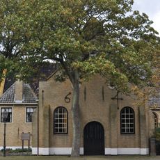
Sint-Nicolaaskerk, Vlieland
4 km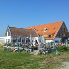
Het Posthuys
3 km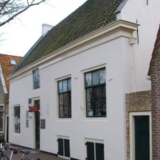
Museum Tromp's Huys
4.2 km
De Noordwester
4 km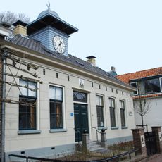
Dorpsstraat 148, Vlieland
4 km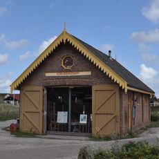
Duinkersoord 33, Vlieland
3.8 km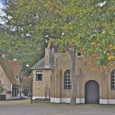
Kerkplein 6, Vlieland
4 km
Dorpsstraat 162, Vlieland
4 km
Dorpsstraat 81, Vlieland
4.2 km
Duinkersoord 90, Vlieland
4.1 km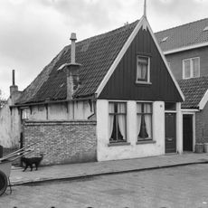
Dorpsstraat 133, Vlieland
4 km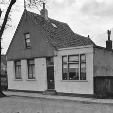
Dorpsstraat 188, Vlieland
3.8 km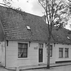
Dorpsstraat 176, Vlieland
3.9 km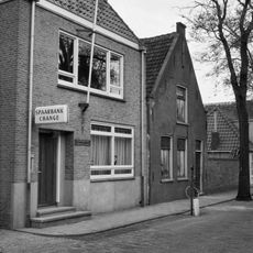
Dorpsstraat 136, Vlieland
4.1 km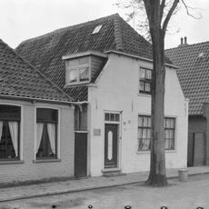
Dorpsstraat 147, Vlieland
3.9 km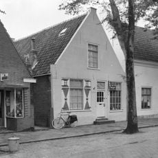
Dorpsstraat 97, Vlieland
4.2 km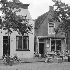
Dorpsstraat 116, Vlieland
4.2 km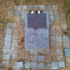
Monument voor verongelukte Stirling
2.2 km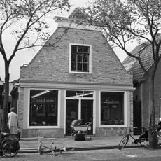
Dorpsstraat 108, Vlieland
4.2 km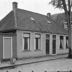
Dorpsstraat 145, Vlieland
4 km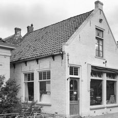
Dorpsstraat 146, Vlieland
4 km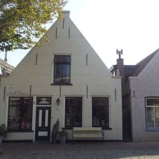
Dorpsstraat 109, Vlieland
4.1 km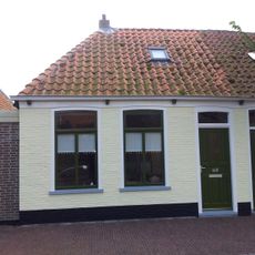
Dorpsstraat 143, Vlieland
4 km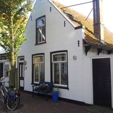
Dorpsstraat 137, Vlieland
4 km
Dorpsstraat 111, Vlieland
4.1 km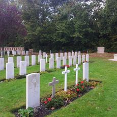
Brits ereveld
4 km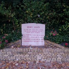
Monument op de begraafplaats
4 kmReviews
Visited this place? Tap the stars to rate it and share your experience / photos with the community! Try now! You can cancel it anytime.
Discover hidden gems everywhere you go!
From secret cafés to breathtaking viewpoints, skip the crowded tourist spots and find places that match your style. Our app makes it easy with voice search, smart filtering, route optimization, and insider tips from travelers worldwide. Download now for the complete mobile experience.

A unique approach to discovering new places❞
— Le Figaro
All the places worth exploring❞
— France Info
A tailor-made excursion in just a few clicks❞
— 20 Minutes