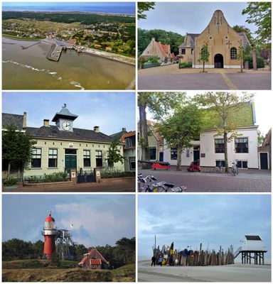
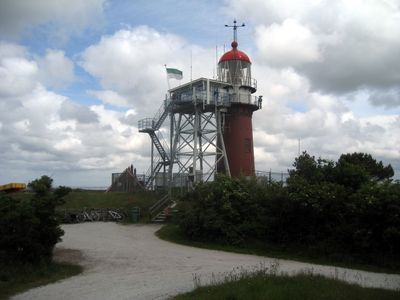
Vlieland, Wadden Sea island in Netherlands
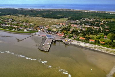
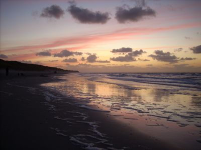
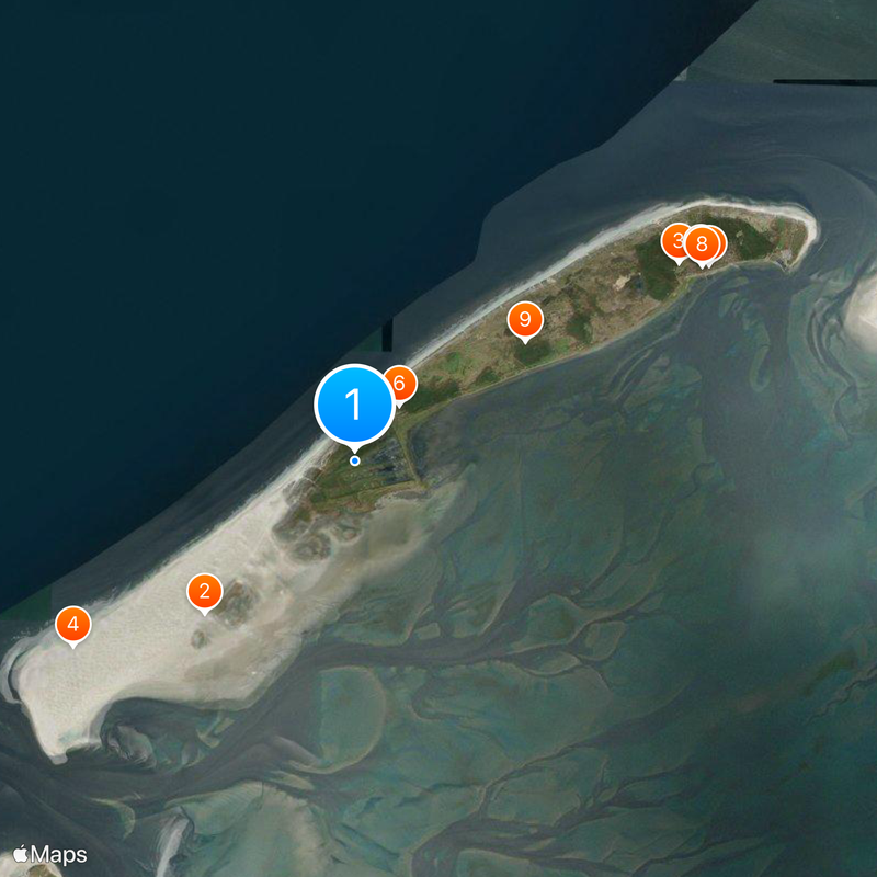
Vlieland is an island in the Dutch part of the Wadden Sea in Friesland province, stretching for 12 kilometers (7.5 miles) and measuring only 1 kilometer (0.6 miles) at its widest point. This narrow strip of land sits between the North Sea and the Wadden Sea and offers a system of dunes, beaches and open sand plains.
The island separated from mainland Netherlands during the St. Lucia flood in 1287 and became a distinct area within the Wadden Sea. The village of West-Vlieland disappeared into the sea in 1736 after storms and erosion gradually wore away the land.
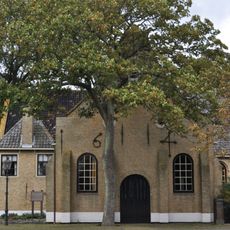
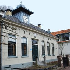
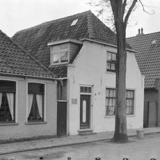
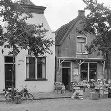
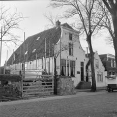
The Tromp's Huys museum sits inside a 17th-century building and displays objects and documents that show how seafarers lived on Vlieland across the centuries. The exhibits make the connection between residents and the ocean tangible and show how daily routines shifted with the tides.
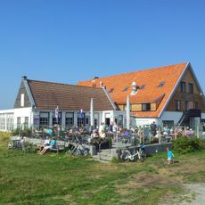
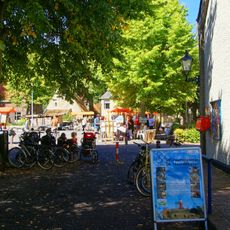
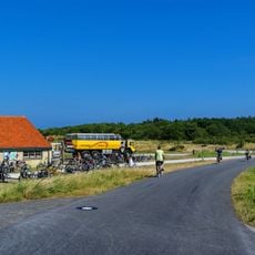
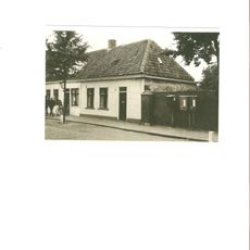
Visitors must leave their cars on the mainland, as the island remains car-free and everyone moves around by bicycle or on foot. Most paths are flat and easy to navigate, and the village sits close to the ferry landing.
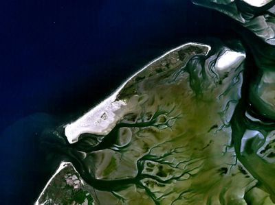
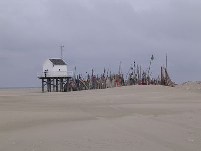
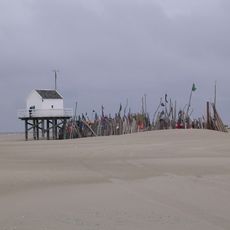
The Vliehors region covers almost half the island and consists of wide sand flats that form a desert-like landscape in northern Netherlands. This area is also used for military exercises and remains open to walkers outside training periods.
The community of curious travelers
AroundUs brings together thousands of curated places, local tips, and hidden gems, enriched daily by 60,000 contributors worldwide.