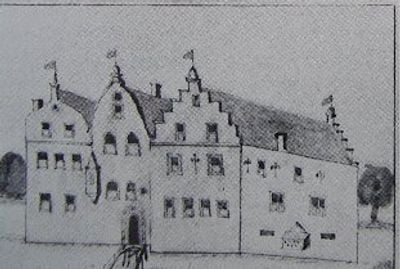
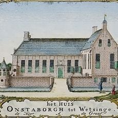
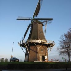
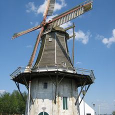
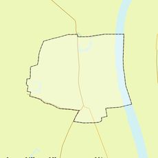
Onstaborg, Medieval fortress in Sauwerd, Netherlands
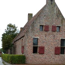
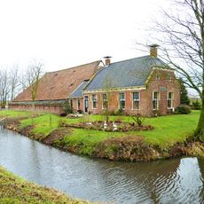
Onstaborg was a medieval fortress in Sauwerd built with thick defensive walls and a prominent central tower that shaped the landscape of northern Groningen. The complex contained multiple separate residential and defensive structures arranged across the site.
The fortress originated in the 14th century as the seat of the Onsta family who ruled parts of the Hunsingo region. It suffered major damage during an assault in the early 15th century by forces from Groningen, leading to its eventual decline.
The fortress represented local power and identity for the Onsta family within the Hunsingo region. Visitors can sense how such strongholds served as centers of authority and family pride in medieval northern Groningen.
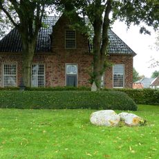
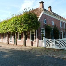
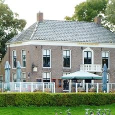
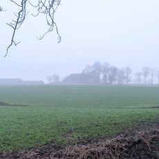
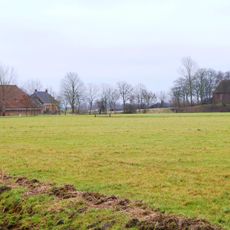
The site is now an archaeological location with no standing structures, as the fortress was completely destroyed and buried over time. Visitors should expect minimal visible remains and should consider exploring the nearby museum or local records for more detailed information about the site.
A detailed 1514 inventory recorded the fortress layout with distinct sleeping areas and fortified sections before its destruction, providing a rare written snapshot of medieval daily life. This document remains one of the few records showing how such a complex was actually organized and used.
The community of curious travelers
AroundUs brings together thousands of curated places, local tips, and hidden gems, enriched daily by 60,000 contributors worldwide.