
Havenlichten van Stavoren, Rijksmonument op bij Havenweg 13
Location: Súdwest-Fryslân
Part of: Haven
GPS coordinates: 52.88620,5.35321
Latest update: March 6, 2025 15:25
J.L. Hooglandgemaal
1.2 km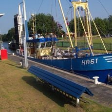
Johan Friso lock
1 km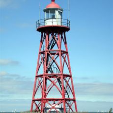
Stavoren Lighthouse
357 m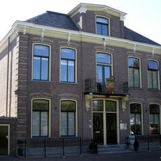
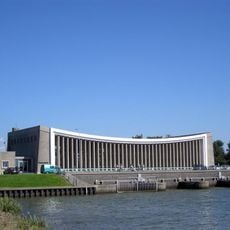
Stadhuis, Stavoren
469 m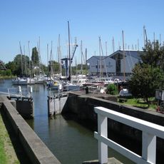
Oude zeesluis
363 m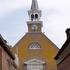
Nicolaaskerk, Stavoren
649 m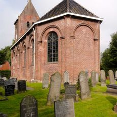
Sint-Lebuïnuskerk, Molkwerum
3.4 km
Staveren General Cemetery
669 m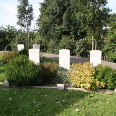
Hemelumer Oldeferd (Scharl) General Cemetery
3.3 km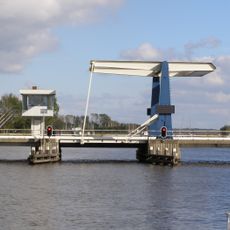
Warnsebrug
3.4 km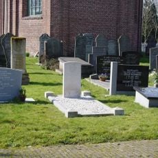
Hemelumer Oldeferd (Molkwerum) Protestant Churchyard
3.5 km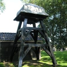
Wooden bell tower Scharl
3.3 km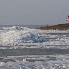
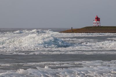
Stavoren North Pierhead Light
60 m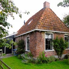
Lútzenpôlle 5, Molkwerum
3.5 km
It Noard 36, Warns
3.4 km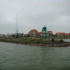
Stavoren South Pierhead Light
49 m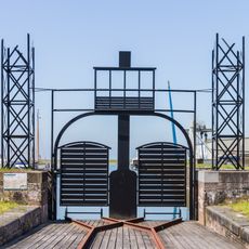
Stavoren. Project "Stavers Belang"
568 m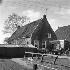
Het Noard 50, Warns
3.5 km
Peilschaalhuis
176 m
Zuidermeerpolder
2.3 km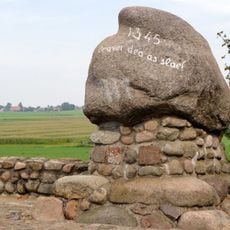
Battle of Warns Memorial
3.9 km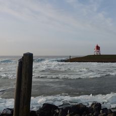
Twee rolpalen
87 m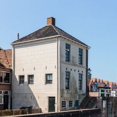
Buildings in Stavoren
365 m
Hellingstrjitte 8, Molkwerum
3.5 km
Visfontein, Stavoren
326 m
Bridges in Stavoren
357 m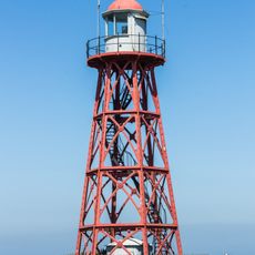
Rijksmonumenten in Stavoren
350 m
Shoreliner (Stavoren)
561 mReviews
Visited this place? Tap the stars to rate it and share your experience / photos with the community! Try now! You can cancel it anytime.
Discover hidden gems everywhere you go!
From secret cafés to breathtaking viewpoints, skip the crowded tourist spots and find places that match your style. Our app makes it easy with voice search, smart filtering, route optimization, and insider tips from travelers worldwide. Download now for the complete mobile experience.

A unique approach to discovering new places❞
— Le Figaro
All the places worth exploring❞
— France Info
A tailor-made excursion in just a few clicks❞
— 20 Minutes