
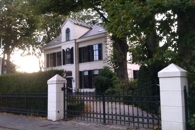
Villa gebouwd als pastorie, Rijksmonument op Achterweg 11
Location: Heemstede
Address: Achterweg 11 2103SW
GPS coordinates: 52.34235,4.62469
Latest update: March 4, 2025 13:30
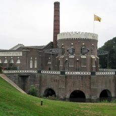
De Cruquius Pumping Station
1 km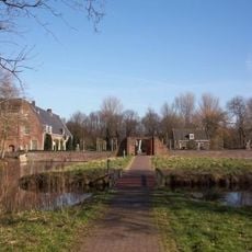
Slot Heemstede
514 m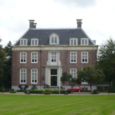
Bosbeek
985 m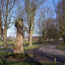
Vrijheidsbeeld
549 m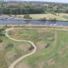
Fort bij Heemstede
795 m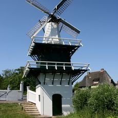
Groenendaalse Molen
486 m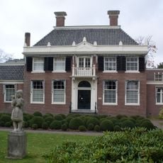
Meer en Bosch, Heemstede
137 m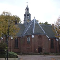
Nederlands hervormde kerk, Heemstede
66 m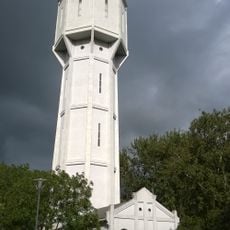
Watertower Heemstede
427 m
Onze-Lieve-Vrouw-Hemelvaartkerk
258 m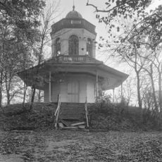
Belvédère
687 m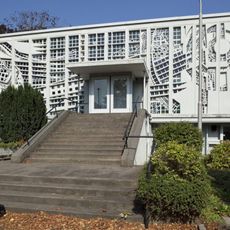
Pinksterkerk, Heemstede
267 m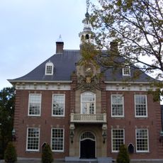
Raadhuis, Heemstede
570 m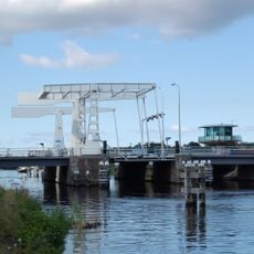
Cruquiusbrug
941 m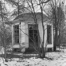
Koepel, Heemstede
1 km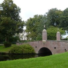
Seminarie Hageveld: stenen brug
1.1 km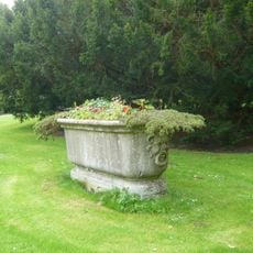
Marble bathtub
1 km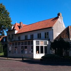
Restaurant "het Wapen van Heemstede"
118 m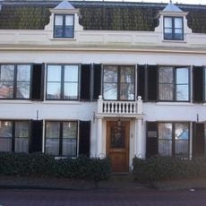
Raadhuisplein 9, Heemstede
503 m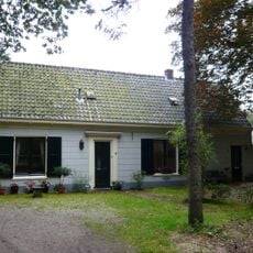
Groenendaal: Gärtnerhaus
852 m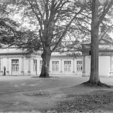
Landhaus Bosbeek: natursteinernes Postament
1 km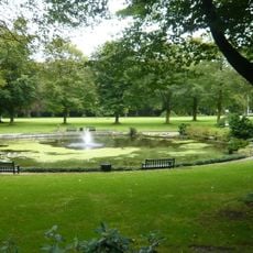
Landhaus Bosbeek: Teich
1 km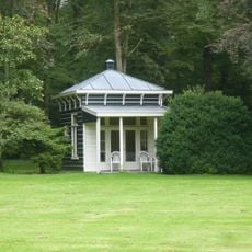
Landhaus Bosbeek: Gartenhaus
1 km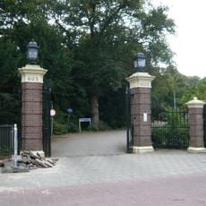
Landhaus Bosbeek: Gitter
1 km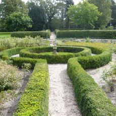
Landhuis Bosbeek: Park- und Gartenanlage
1 km
Groenendaal: Einfriedung mit Burgtürmen an der Sparrenlaan
1 km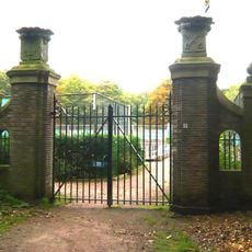
Groenendaal: Leidener Zollgitter
1 km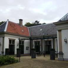
Groenendaal: Kutscherhaus
903 mVisited this place? Tap the stars to rate it and share your experience / photos with the community! Try now! You can cancel it anytime.
Discover hidden gems everywhere you go!
From secret cafés to breathtaking viewpoints, skip the crowded tourist spots and find places that match your style. Our app makes it easy with voice search, smart filtering, route optimization, and insider tips from travelers worldwide. Download now for the complete mobile experience.

A unique approach to discovering new places❞
— Le Figaro
All the places worth exploring❞
— France Info
A tailor-made excursion in just a few clicks❞
— 20 Minutes