
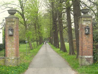
Waterland, toegangshek, Rijksmonument op Rijksweg bij 116
Location: Velsen
Part of: Landgoed Waterland
Address: Rijksweg bij 116
GPS coordinates: 52.45722,4.64983
Latest update: April 1, 2025 01:43
Landgoed Waterland
203 m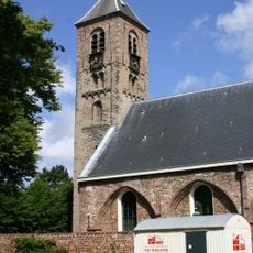
Engelmunduskerk
479 m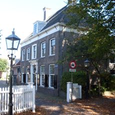
Torenstraat 2, Velsen-Zuid
525 m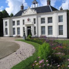
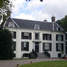
Beeckestijn main building
537 m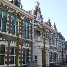
Voormalig gemeentehuis
543 m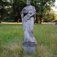
Waterland, tuinbeeld Flora
252 m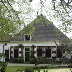
Lievendaal
519 m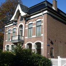
Kerkesingel 1, Velsen-Zuid
460 m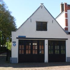
Schuur van belang ter afsluiting van het kerkplein
519 m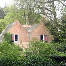
Waterland, stalwoning ("Huis van Daatje")
188 m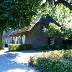
Boerderij, gepleisterde lage woning in topgevels eindigend, laag hek
244 m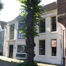
Meervlietstraat 34, Velsen-Zuid
558 m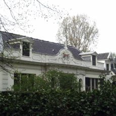
Waterland, koetshuis
195 m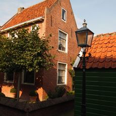
Zuiderdorpstraat 4, Velsen-Zuid
554 m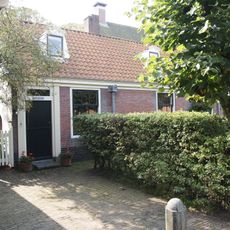
Zuiderdorpstraat 7, Velsen-Zuid
535 m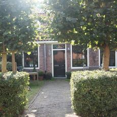
Zuiderdorpstraat 9, Velsen-Zuid
537 m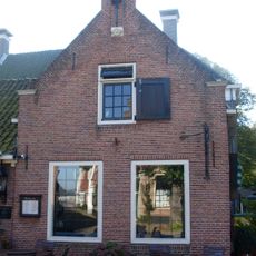
Zuiderdorpstraat 15, Velsen-Zuid
539 m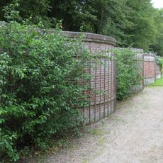
Serpentine wall Beeckestijn
438 m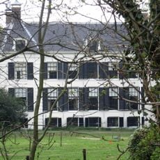
Landgoed Waterland
193 m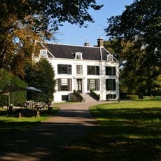
Waterland, park- en tuinaanleg
189 m
Torenstraat 4, Velsen-Zuid
564 m
Meervlietstraat 58, Velsen-Zuid
459 m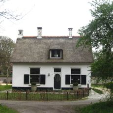
Waterland, tuinmanswoning
352 m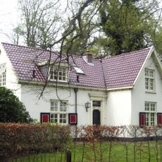
Waterland, portierswoning
21 m
De Ark
526 m
Kerkesingel 5, Velsen-Zuid
432 m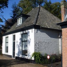
Kerkesingel 3, Velsen-Zuid
439 m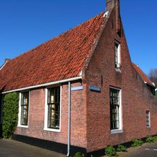
Hoofdbuurtstraat 5, Velsen-Zuid
556 mReviews
Visited this place? Tap the stars to rate it and share your experience / photos with the community! Try now! You can cancel it anytime.
Discover hidden gems everywhere you go!
From secret cafés to breathtaking viewpoints, skip the crowded tourist spots and find places that match your style. Our app makes it easy with voice search, smart filtering, route optimization, and insider tips from travelers worldwide. Download now for the complete mobile experience.

A unique approach to discovering new places❞
— Le Figaro
All the places worth exploring❞
— France Info
A tailor-made excursion in just a few clicks❞
— 20 Minutes