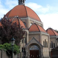
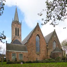
Velsen, municipality in the Netherlands
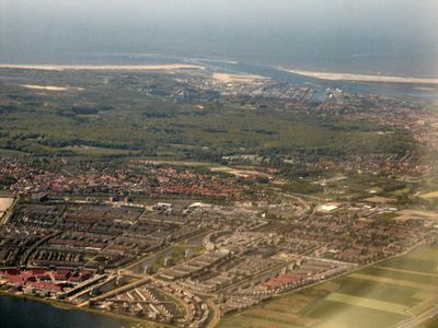
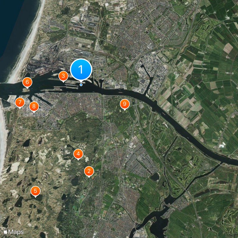
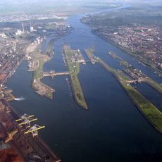
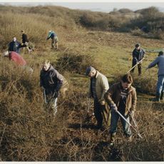
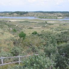
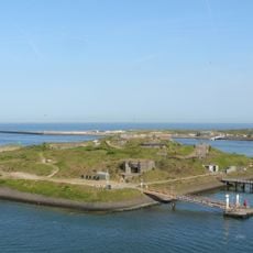
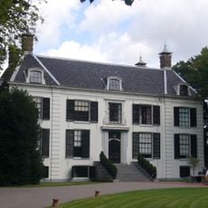
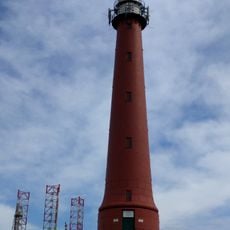
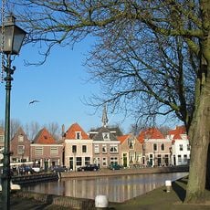
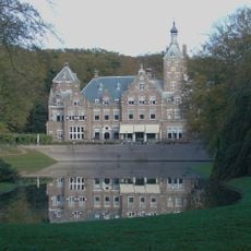
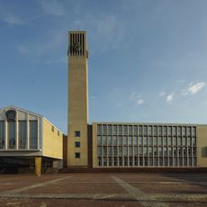
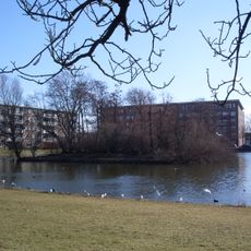
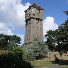
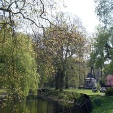
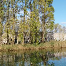
Velsen is a municipality in North Holland situated along the North Sea coast, encompassing several villages and settlements across the area. The region includes residential districts, industrial zones, and natural spaces featuring dunes and beach areas.
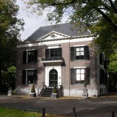
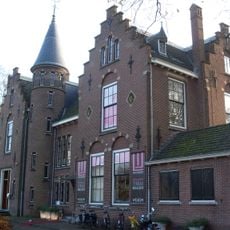
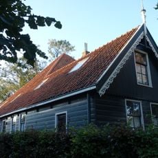
Velsen developed from several historic villages that grew together into a modern municipality over centuries. Its coastal position shaped growth through fishing and later port and industrial activities.
The municipality is easily accessible by car or train and offers access to beaches and natural areas. Visitors should bring suitable clothing depending on activities, especially for coastal visits.
The community of curious travelers
AroundUs brings together thousands of curated places, local tips, and hidden gems, enriched daily by 60,000 contributors worldwide.