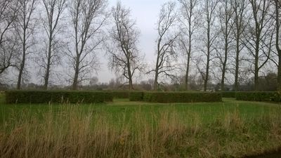
Kasteel Middelburg, Medieval castle ruins in Oudorperpolder, Netherlands.
Kasteel Middelburg is a set of medieval castle ruins in the Oudorperpolder near Alkmaar, with foundations and a moat system still visible in the landscape today. The remains reveal the substantial size and layout of what was once an important defensive stronghold.
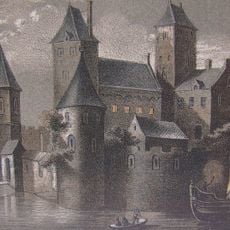
The castle was built around 1282 by Count Floris V as part of his network of fortifications in West Frisia to secure regional control. The construction came after his father's death and represented a key step in establishing his authority over the territory.
The castle ruins, designated as a Rijksmonument, represent a crucial period in Dutch medieval military architecture and regional power dynamics.
The site is located in open countryside and can be reached on foot, though it may be difficult to access depending on season and weather conditions. There are no facilities on site, so visitors should prepare in advance and bring appropriate footwear and equipment.
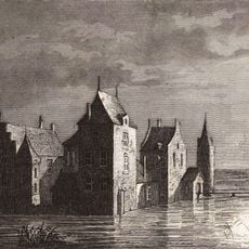
Geophysical surveys from 2018 revealed the castle complex was larger than initially believed, with additional brick structures indicating an extensive outer courtyard beneath the surface. These findings show how modern radar and electromagnetic techniques can uncover hidden elements of medieval sites.
The community of curious travelers
AroundUs brings together thousands of curated places, local tips, and hidden gems, enriched daily by 60,000 contributors worldwide.