
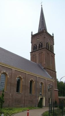
Hervormde Kerk, church building in Stede Broec, Netherlands
Location: Stede Broec
Inception: 19 century
Address: Zesstedenweg 189 1613JA
GPS coordinates: 52.69756,5.21905
Latest update: March 6, 2025 20:29
Zesstedenweg 159, Grootebroek
244 m
Sint-Nicolaaskerk
972 m
Ceres
2.2 km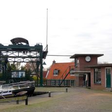
Overhaal
2.5 km
Oostergouw
2.4 km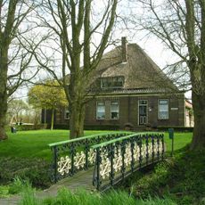
Westerwijzend
2.9 km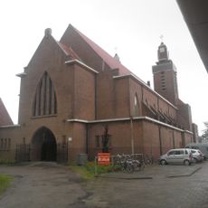
Laurentiuskerk
2.8 km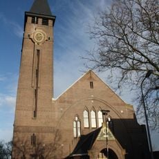
Johannes de Doperkerk
247 m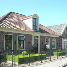
De Buurt
2.3 km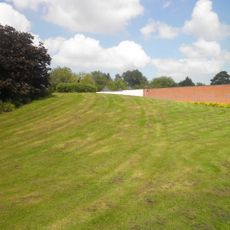
Burial mount Grootebroek
961 m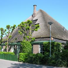
Westerbuurt
2.1 km
Grootslag
2.3 km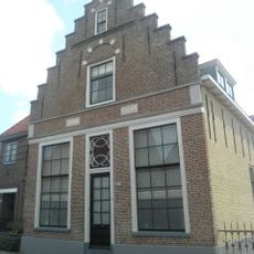
Zesstedenweg 233, Grootebroek
241 m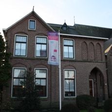
Sint-Nicolaaskerk
968 m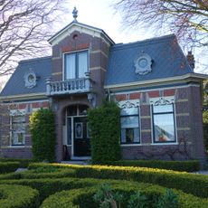
Burgemeesterwoning
2.3 km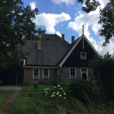
Buurt 11, Venhuizen
2.4 km
Terrein waarin overblijfselen van nederzettingen
2.1 km
Stelphoeve met ingezwenkte houten topgevel boven de kroonlijst
51 m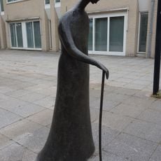
Wandelaar met Stok
1.1 km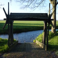
Overhaal
2.5 km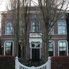
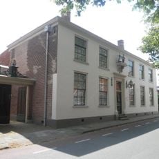
Pastorie
57 m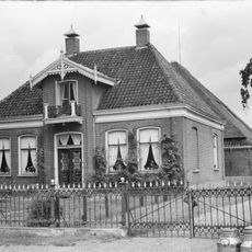
De Buurt 62, Venhuizen
2.3 km
Terrein waarin overblijfselen van bewoning en begraving
1.1 km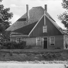
De Buurt 1, Venhuizen
2.4 km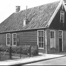
Hoofdstraat 294, Bovenkarspel
2.5 km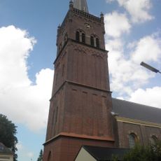
Toren van de hervormde kerk
0 m
Bevrijdingsmonument
1.1 km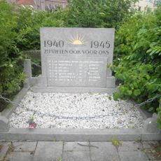
Oorlogsmonument
2.7 kmVisited this place? Tap the stars to rate it and share your experience / photos with the community! Try now! You can cancel it anytime.
Discover hidden gems everywhere you go!
From secret cafés to breathtaking viewpoints, skip the crowded tourist spots and find places that match your style. Our app makes it easy with voice search, smart filtering, route optimization, and insider tips from travelers worldwide. Download now for the complete mobile experience.

A unique approach to discovering new places❞
— Le Figaro
All the places worth exploring❞
— France Info
A tailor-made excursion in just a few clicks❞
— 20 Minutes