
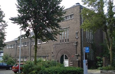
Volksbondweg 2, Maastricht, building in Maastricht, Netherlands
Location: Maastricht
Address: Volksbondweg 2
GPS coordinates: 50.84739,5.67680
Latest update: March 6, 2025 22:33

Sint-Lambertuskerk
272 m
Hoge Fronten
260 m
Jekerkanaal
267 m
Sint-Servaasbolwerk
223 m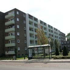
Aldenhofflat
326 m
Directievilla De Zwarte Ruiter
206 m
Jekerstraat 19, Maastricht
300 m
Brusselsestraat 121, Maastricht
308 m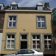
Jekerstraat 17, Maastricht
301 m
Pastoor Habetsstraat 48, Maastricht
329 m
Brusselsestraat 111, Maastricht
333 m
Brusselsestraat 130, Maastricht
343 m
Restaurant d'Alsace
196 m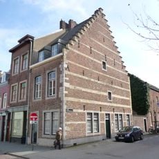
Brusselsestraat 127, Maastricht
293 m
Brusselsestraat 117, Maastricht
315 m
Lagerkelders de Zwarte Ridder
209 m
Hertogsingel 43, Maastricht
174 m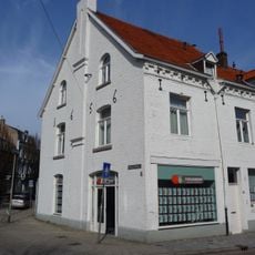
Brusselsestraat 140, Maastricht
304 m
Brusselsestraat 136, Maastricht
325 m
Brusselsestraat 119, Maastricht
312 m
Volksplein 4, Maastricht
56 m
Brusselsestraat 113, Maastricht
331 m
Jekerstraat 39, Maastricht
319 m
Brusselsestraat 109, Maastricht
341 m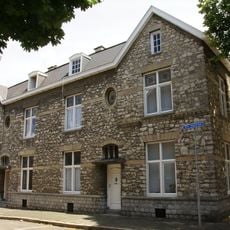
Sint Odastraat 1, Maastricht
297 m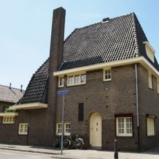
Sint Odastraat 2, Maastricht
340 m
De Oorlogsramp 1941-1942
293 m
Monument aan de Willem Vliegenstraat
115 mVisited this place? Tap the stars to rate it and share your experience / photos with the community! Try now! You can cancel it anytime.
Discover hidden gems everywhere you go!
From secret cafés to breathtaking viewpoints, skip the crowded tourist spots and find places that match your style. Our app makes it easy with voice search, smart filtering, route optimization, and insider tips from travelers worldwide. Download now for the complete mobile experience.

A unique approach to discovering new places❞
— Le Figaro
All the places worth exploring❞
— France Info
A tailor-made excursion in just a few clicks❞
— 20 Minutes