
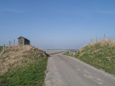
Coupure in de Oude Provinciale Dijk, Rijksmonument op bij Ommelanderweg 26
Location: De Marne
Part of: Dijkcoupures
GPS coordinates: 53.38868,6.33463
Latest update: March 9, 2025 01:46
Hoofdstraat 35, Leens
3.8 km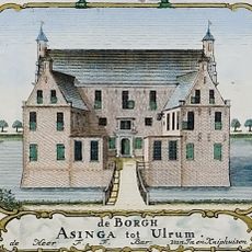
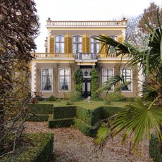
Asingaborg (Ulrum)
3.6 km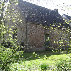
Oldeklooster
3.9 km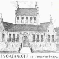
Tammingaborg
1.9 km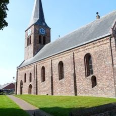
Hervormde Kerk, Ulrum
3.4 km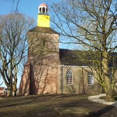
Church of Hornhuizen
1.7 km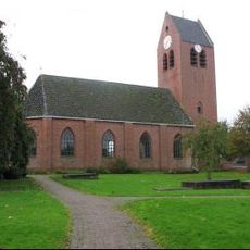
Hervormde Kerk
3.8 km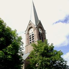
Sint-Willibrorduskerk
3.9 km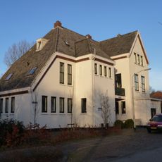
Ulrum railway station
3.1 km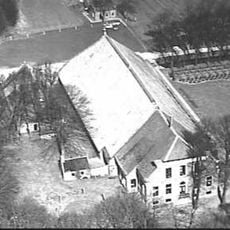
Midhuizen
1.5 km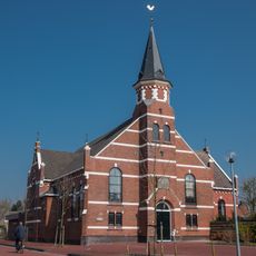
Gereformeerde Kerk
3.2 km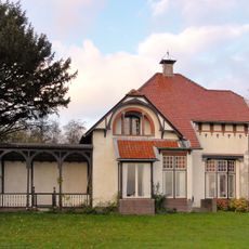
Hoofdstraat 33, Leens
3.8 km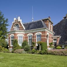
Bromo
1.2 km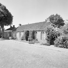
Voormalig Armenhuis (Werkhuis)
1.8 km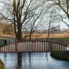
Westerhouw, voetgangersbrug
3.4 km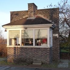
Weegbrughuisje Ulrum
3.1 km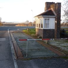
Weegbrug
3.1 km
Grijssloot 1, Leens
3.2 km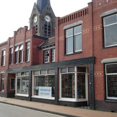
Winkel met twee woningen
3.9 km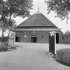
Ommelanderweg 9, Hornhuizen
1.5 km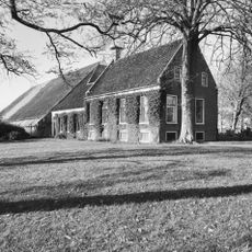
Noorderweg 1, Vierhuizen
2.4 km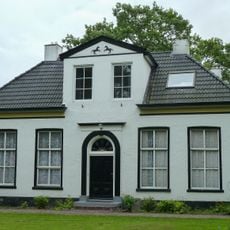
Hervormde pastorie
3.4 km
Woonhuis met aangebouwde schuur
3.2 km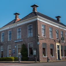
Neptunus
3.2 km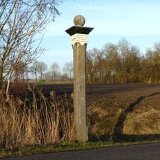
Voormalige grenspaal gemeenten Leens-Ulrum (daarvoor kaak op de kruising Wilhelminastraat-Hoofdstraat in Leens)
3.4 km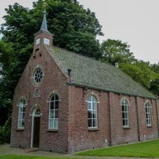
Hervormde consistorie (Irene)
3.4 km
Westerhouw
3.4 km
Oorlogsmonument
3.9 kmReviews
Visited this place? Tap the stars to rate it and share your experience / photos with the community! Try now! You can cancel it anytime.
Discover hidden gems everywhere you go!
From secret cafés to breathtaking viewpoints, skip the crowded tourist spots and find places that match your style. Our app makes it easy with voice search, smart filtering, route optimization, and insider tips from travelers worldwide. Download now for the complete mobile experience.

A unique approach to discovering new places❞
— Le Figaro
All the places worth exploring❞
— France Info
A tailor-made excursion in just a few clicks❞
— 20 Minutes