
Keersluis, bridge in Netherlands
Location: Kollumerland en Nieuwkruisland
GPS coordinates: 53.30103,6.27617
Latest update: March 3, 2025 06:20

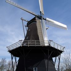
Windlust, Burum
4.2 km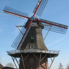
Rust Roest
374 m
De Leegte
2.1 km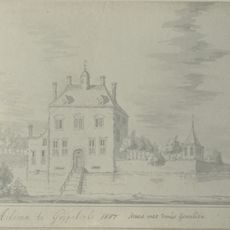
Aykemaborg
3.5 km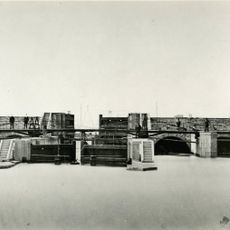
Provinciale dijk
4.1 km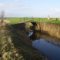
Het Piepke, Grijpskerk
1 km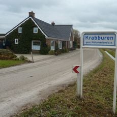
Krabburen
1.4 km
De Keegen
3.8 km
De Kolk
2.1 km
Halfweg
2.3 km
Grifformearde tsjerk
3.7 km
De Pol
1.6 km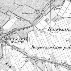
Waardsterpolder
1.7 km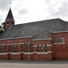
Grifformearde tsjerke
376 m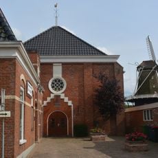
Gereformeerde kerk
4.1 km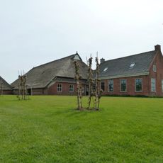
Oudebosch
4.2 km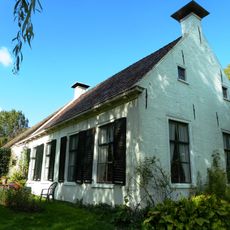
Kop-hals-rompboerderij (Ruigewaard)
4.2 km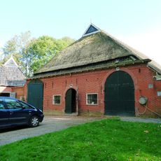
Lageweg 40 (Grijpskerk)
4.2 km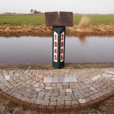
Oorlogsmonument
2.2 km
Teenstraheerd
4.1 km
Grovestins
3 km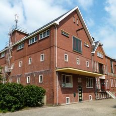
Zuivelfabriek, drie fabrieksgebouwen
4.2 km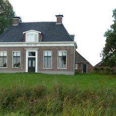
Wester Pama
4 km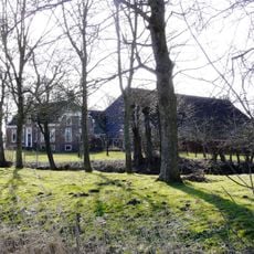
Ruigezand (farm)
3.7 km
Zuivelfabriek, kantine
4.2 km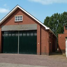
Zuivelfabriek, garage
3.8 km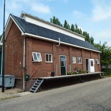
Zuivelfabriek, fabrieksgebouw karnemelk en pap
3.8 km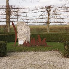
Bevrijdingsmonument
3.9 kmReviews
Visited this place? Tap the stars to rate it and share your experience / photos with the community! Try now! You can cancel it anytime.
Discover hidden gems everywhere you go!
From secret cafés to breathtaking viewpoints, skip the crowded tourist spots and find places that match your style. Our app makes it easy with voice search, smart filtering, route optimization, and insider tips from travelers worldwide. Download now for the complete mobile experience.

A unique approach to discovering new places❞
— Le Figaro
All the places worth exploring❞
— France Info
A tailor-made excursion in just a few clicks❞
— 20 Minutes