
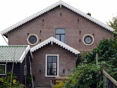
Bijgebouw aan de westzijde van de voormalige pastorie met aanbouw aan de noordwesthoek
Bijgebouw aan de westzijde van de voormalige pastorie met aanbouw aan de noordwesthoek, Rijksmonument op Schoolstraat bij 47
Location: Opmeer
Part of:
Address: Schoolstraat bij 47
GPS coordinates: 52.74408,4.94949
Latest update: March 10, 2025 22:55
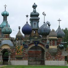
Nederlands Kremlin
2.3 km
Westuit Nr. 7
1.7 km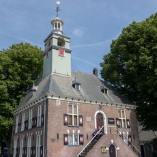
Het Regthuis
3.4 km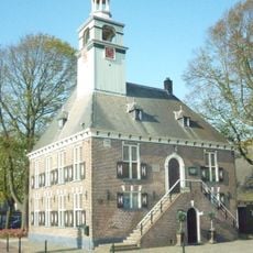
Nederlands Parfumflessen Museum
3.4 km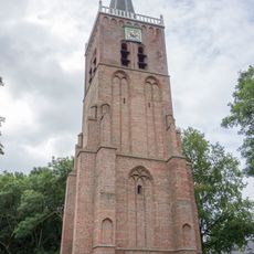
Toren oude dorpskerk
2.9 km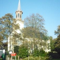
Lucaskerk
3 km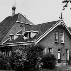
Dorpsstraat 78, Nieuwe Niedorp
3.5 km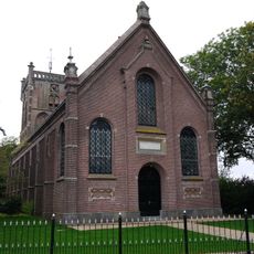
Nederlands Hervormde Kerk, Aartswoud
58 m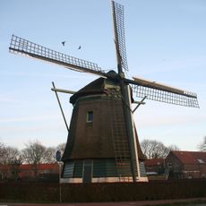
De Lastdrager
3.2 km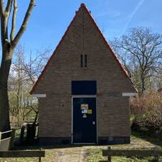
Transformatorhuisje
3.2 km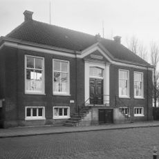
Raadhuis, Hoogwoud
3.1 km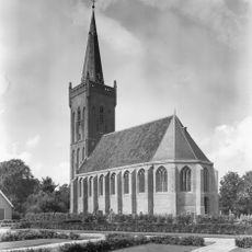
Nederlands Hervormde Kerk, Hoogwoud
3.2 km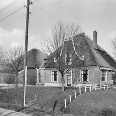
Gouwe 48, Hoogwoud
1.1 km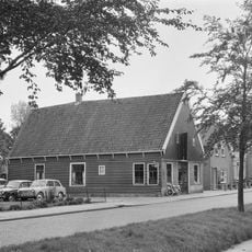
Pand onder zadeldak tussen topgevels; houten topgevelbeschieting aan de voorzijde.
3.5 km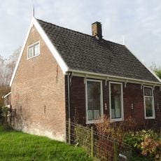
Arbeiderswoning
2.6 km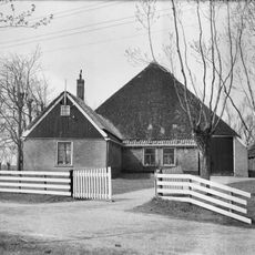
Koningspade 23, Hoogwoud
2.7 km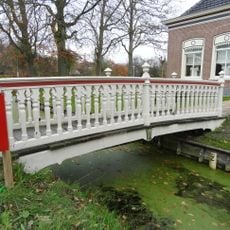
Voetbrug behorende bij de rentenierswoning
3 km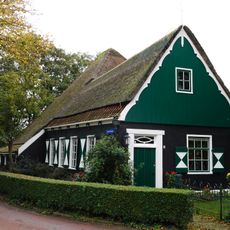
Schoolstraat 4, Aartswoud
639 m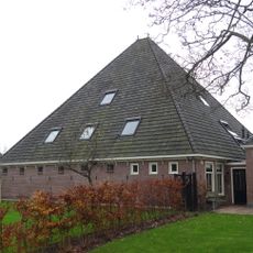
Stolpschuur
3 km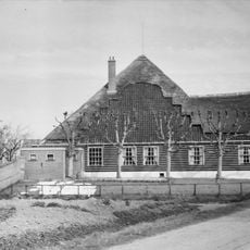
De Willemshoeve, Hoogwoud
3.2 km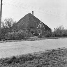
Koningspade 31, Hoogwoud
2 km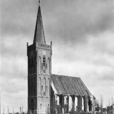
Toren der Hervormde Kerk
3.2 km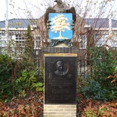
Oorlogsmonument
3.1 km
Toren van de Nederlands Hervormde Kerk
58 m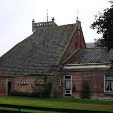
Kop-rompboerderij met bijbehorend hek
82 m
Twee rijen grafzerken, op het oude kerkhof bij de ingang van de moderne kerk
2.9 km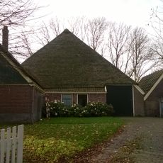
Schuur
2.7 km
Herenweg 46, Hoogwoud
3 kmVisited this place? Tap the stars to rate it and share your experience / photos with the community! Try now! You can cancel it anytime.
Discover hidden gems everywhere you go!
From secret cafés to breathtaking viewpoints, skip the crowded tourist spots and find places that match your style. Our app makes it easy with voice search, smart filtering, route optimization, and insider tips from travelers worldwide. Download now for the complete mobile experience.

A unique approach to discovering new places❞
— Le Figaro
All the places worth exploring❞
— France Info
A tailor-made excursion in just a few clicks❞
— 20 Minutes