
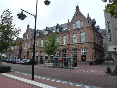
Fraterhuis-school, Schulgebäude in den Niederlanden
Location: Helmond
Address: Zuid Koninginnewal 49
GPS coordinates: 51.47846,5.65720
Latest update: March 6, 2025 00:33
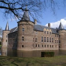
Kasteel Helmond
350 m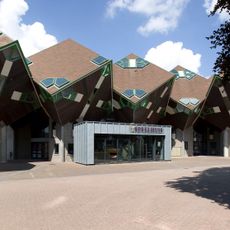
Cube Houses
304 m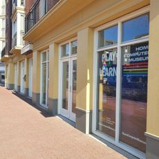
HomeComputerMuseum
153 m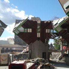
Theater 't Speelhuis
304 m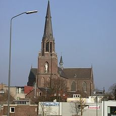
Sint-Lambertuskerk
77 m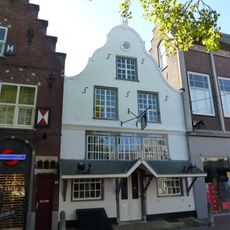
Markt 7, Helmond
127 m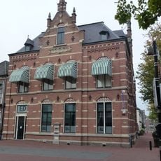
De Rozario
264 m
Heilig-Hartkerk
207 m
Draaiorgel Museum Helmond
396 m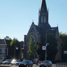
Voormalige Nederlands Hervormde Kerk, Helmond
161 m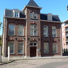
Kantongrecht
312 m
Sint-Lambertuskerk
75 m
Kanaaldijk Noord West 49, Helmond
447 m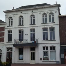
Markt 24, Helmond
155 m
Kerkstraat 47, Helmond
99 m
Marktstraat 10, Helmond
315 m
Kerkstraat 48, Helmond
83 m
Markt 31, Helmond
153 m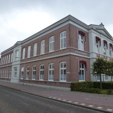
Molenstraat 191, Helmond
316 m
Kanaaldijk Noord West 47, Helmond
437 m
Koetshuis-dienstwoning
275 m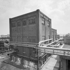
Uitbreiding van het ketelhuis
366 m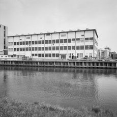
Voormalig fabrieksgebouw
366 m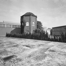
Vlisco b.v., voormalige watertoren
366 m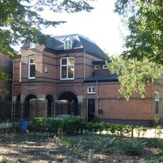
Voormalige woonhuis
245 m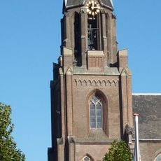
Toren Sint-Lambertuskerk
75 m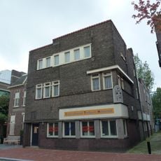
Voormalig patronaat gebouwd in Zakelijke stijl in 1930
157 m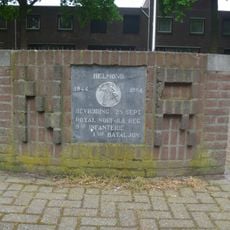
Royal Norfolk-monument
343 mVisited this place? Tap the stars to rate it and share your experience / photos with the community! Try now! You can cancel it anytime.
Discover hidden gems everywhere you go!
From secret cafés to breathtaking viewpoints, skip the crowded tourist spots and find places that match your style. Our app makes it easy with voice search, smart filtering, route optimization, and insider tips from travelers worldwide. Download now for the complete mobile experience.

A unique approach to discovering new places❞
— Le Figaro
All the places worth exploring❞
— France Info
A tailor-made excursion in just a few clicks❞
— 20 Minutes