
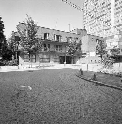
Industrie-Huishoudschool, Schulgebäude in den Niederlanden
Location: Utrecht
Address: Laan van Puntenburg 2
GPS coordinates: 52.08748,5.11360
Latest update: March 11, 2025 13:40
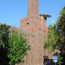
De Inktpot
95 m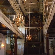
Clandestine church
269 m
St. Gertrude's Cathedral
262 m
Hoofdgebouw I
117 m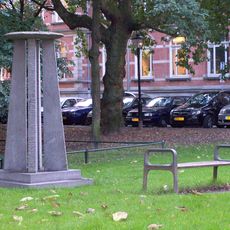
Moreelsepark
96 m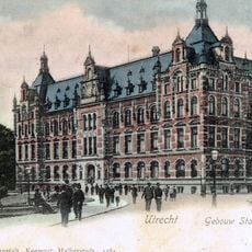
Hoofdgebouw II
66 m
Moreelsebrug
169 m
Sterrenbos
206 m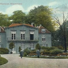
Park Nieuweroord
82 m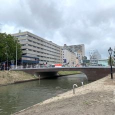
Marga Klompébrug
236 m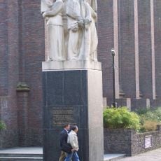
Monument voor Gevallen Spoorwegpersoneel
120 m
Sterrehof
175 m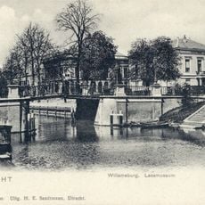
Willemsbrug
228 m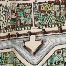
Mariabolwerk
197 m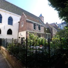
St. Gertrudis Chappell
271 m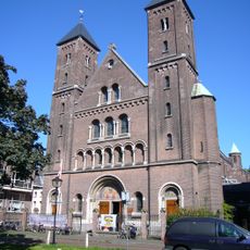
Oud-Katholieke Kerk St. Gertrudis
240 m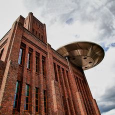
UFO Zover
141 m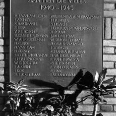
Plaquette in ‘De Inktpot’
128 m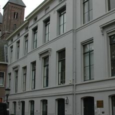
Mariahoek 6, Utrecht
245 m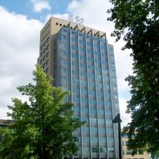
IK
146 m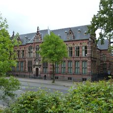
Catharijnesingel 61, Utrecht
250 m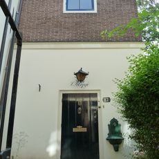
Mariahoek 12, Utrecht
273 m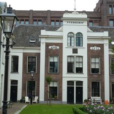
Sterrehof, woonblok A
155 m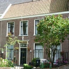
Mariahoek 11, Utrecht
262 m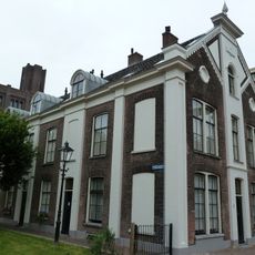
Sterrehof, Woonblok C
179 m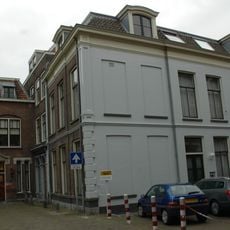
Oude Mannen- en Vrouwenhuis, Utrecht
272 m
Mariahoek 3, Utrecht
255 m
Willemsplantsoen 3, Utrecht
240 mVisited this place? Tap the stars to rate it and share your experience / photos with the community! Try now! You can cancel it anytime.
Discover hidden gems everywhere you go!
From secret cafés to breathtaking viewpoints, skip the crowded tourist spots and find places that match your style. Our app makes it easy with voice search, smart filtering, route optimization, and insider tips from travelers worldwide. Download now for the complete mobile experience.

A unique approach to discovering new places❞
— Le Figaro
All the places worth exploring❞
— France Info
A tailor-made excursion in just a few clicks❞
— 20 Minutes