
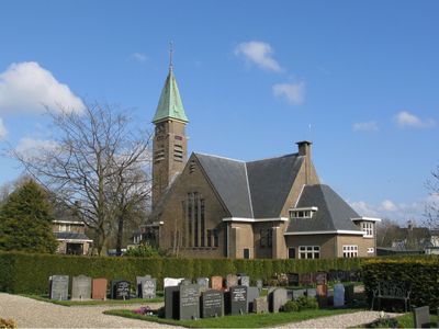
Nederlands Hervormde Kerk, church building in De Ronde Venen, Netherlands
Location: De Ronde Venen
Inception: 1930
Architects: Bastiaan Willem Plooij
Address: Herenweg 201, 3645DL Vinkeveen 3645DL 3645DL
GPS coordinates: 52.21986,4.93172
Latest update: March 10, 2025 23:52

Fort in de Botshol
3.7 km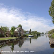
Vinkenkade
3.7 km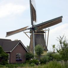
De Veenmolen
2.9 km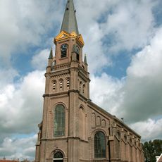
Hervormde kerk
3.2 km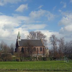
Nederlandse Hervormde Kerk, Waverveen
2.2 km
Bosdijk 1, Portengen
3.7 km
Ontmoetingskerk, Wilnis
3.4 km
De Morgenster
188 m
Heilige Hart van Jezuskerk
558 m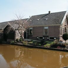
Demmerik 55, Vinkeveen
1.9 km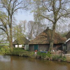
Provincialeweg 14, Vinkeveen
1.9 km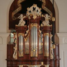
Hervormde kerk vanwege eenklaviers orgel
3.2 km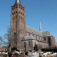
Heilig Hartkerk, Vinkeveen
556 m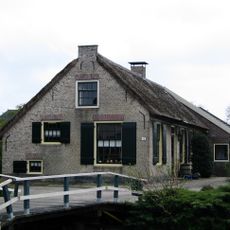
Boerderij. Langhuis, oude roedeverdeling in vensters
3 km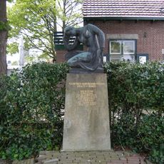
Oorlogsmonument
836 m
Groot Mijdrechtstraat 81, Mijdrecht
3.9 km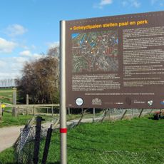
Grenspalen in De Ronde Venen
3.2 km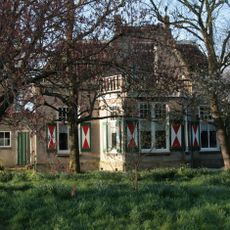
Boerderij met invloeden van de art nouveaustijl
3.2 km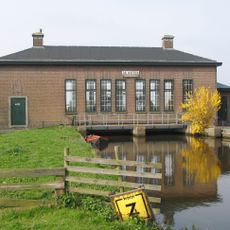
Gemaal De Ruiter
2.8 km
Baambrugse Zuwe 1, Vinkeveen
92 m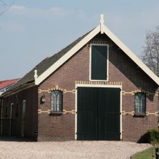
Schuur op rechthoekige plattegrond onder zadeldak, gedekt met gesmoorde Hollandse pannen
1.9 km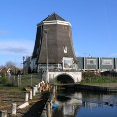
De Plasmolen
4 km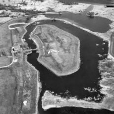
Fort in de Botshol: wachtgebouw
3.8 km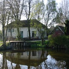
Veldhuis 2, Wilnis
3.7 km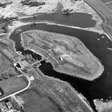
Fort in de Botshol: aardwallen
3.8 km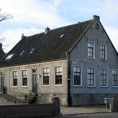
Herenweg 209, Vinkeveen
51 m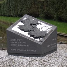
Monument voor Canadese Militairen
3.2 km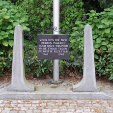
Verzetsmonument
3.4 kmReviews
Visited this place? Tap the stars to rate it and share your experience / photos with the community! Try now! You can cancel it anytime.
Discover hidden gems everywhere you go!
From secret cafés to breathtaking viewpoints, skip the crowded tourist spots and find places that match your style. Our app makes it easy with voice search, smart filtering, route optimization, and insider tips from travelers worldwide. Download now for the complete mobile experience.

A unique approach to discovering new places❞
— Le Figaro
All the places worth exploring❞
— France Info
A tailor-made excursion in just a few clicks❞
— 20 Minutes