
Wegkruis, Rijksmonument op Einde zichtas Vrachelsestraat
Location: Oosterhout
Address: Einde zichtas Vrachelsest
GPS coordinates: 51.66058,4.81237
Latest update: March 11, 2025 13:07

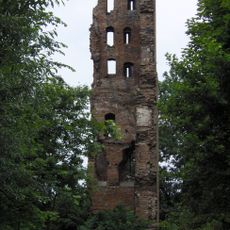
Kasteel Strijen
3.3 km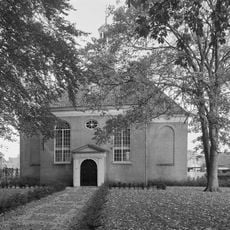
Nederlands Hervormde Kerk, Oosterhout
3.5 km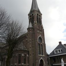
Corneliuskerk (Den Hout)
219 m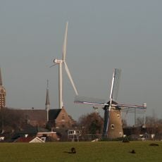
De Hoop
532 m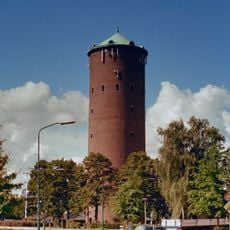
Water tower in Hooge Zwaluwe
3 km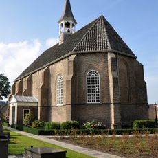
Nederlands Hervormde Kerk, Made
2.3 km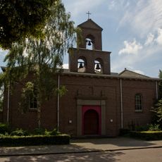
Mariakerk
3.1 km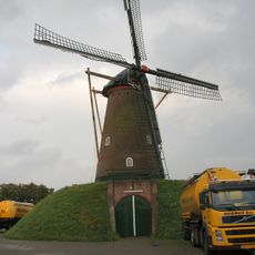
Hoop Doet Leven
2.6 km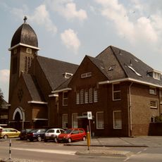
Heilige Blasiuskerk
2.5 km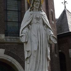
Statue of Sacred Heart of Jesus Christ
222 m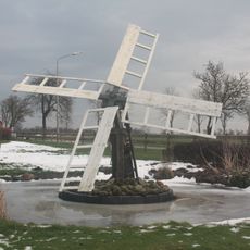
Tjasker Nijeveen
531 m
Rijksbeschermd gezicht Den Hout
128 m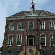
Raadhuis
2.3 km
Arendstraat 32, Oosterhout
3.6 km
Heuvel 15, Oosterhout
3.6 km
Heuvel 10, Oosterhout
3.6 km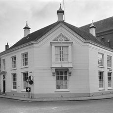
Herenhuis met gebosseerd gepleisterde gevels
3.6 km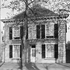
Heuvel 14, Oosterhout
3.6 km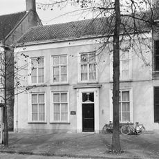
Heuvel 8, Oosterhout
3.6 km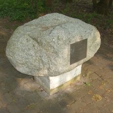
Monument voor Poolse militairen
1.8 km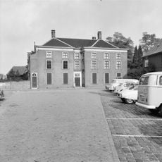
Heuvelstraat 10, Oosterhout
3.5 km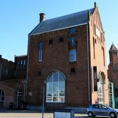
Brouwerij De Gekroonde Bel
3.4 km
Heuvel 2, Oosterhout
3.6 km
Heuvel 12, Oosterhout
3.6 km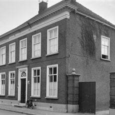
Herenhuis in empire trant, zesdelige schuiframen, bovenlicht boven de deur met uitwaaierde palmetten
3.4 km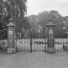
Vier gemetselde hekpalen met hardstenen ornamenten en smeedijzeren hek
3.6 km
Heuvel 16, Oosterhout
3.6 km
Heuvel 19, Oosterhout
3.6 kmReviews
Visited this place? Tap the stars to rate it and share your experience / photos with the community! Try now! You can cancel it anytime.
Discover hidden gems everywhere you go!
From secret cafés to breathtaking viewpoints, skip the crowded tourist spots and find places that match your style. Our app makes it easy with voice search, smart filtering, route optimization, and insider tips from travelers worldwide. Download now for the complete mobile experience.

A unique approach to discovering new places❞
— Le Figaro
All the places worth exploring❞
— France Info
A tailor-made excursion in just a few clicks❞
— 20 Minutes