Oosterhout, municipality in the Netherlands
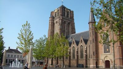
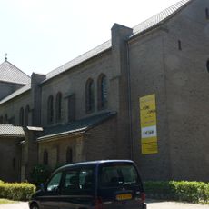
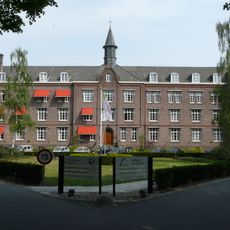
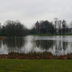
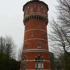
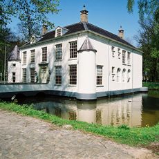
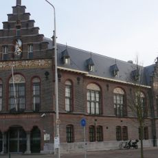
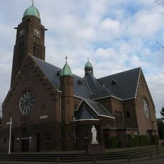
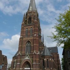
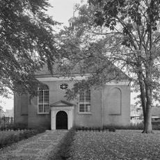
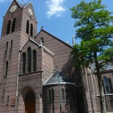
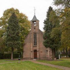
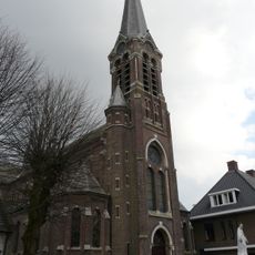
Oosterhout is a municipality in North Brabant, surrounded by green fields and forests in southern Netherlands. Its historic core features a market square, old churches, and a mix of traditional and modern buildings that reflect how it developed from a farming town into a contemporary community.
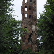
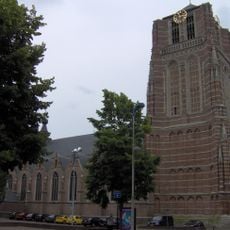
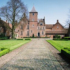
Oosterhout first appeared in written records in 1277, though archaeological finds show people lived there in ancient times. The area once hosted castles built by the Knights Templar, and endured major destruction in 1573 when Spanish troops attacked during the Eighty Years War.
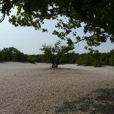
The name Oosterhout comes from words meaning 'east' and 'wood', reflecting the area's ancient forest heritage. Today this connection to nature shapes how locals spend their time, with many preferring outdoor walks, cycling, and gatherings in parks along quiet paths.
The town is well connected by trains and buses, making it easy to reach the city center, nearby parks, or further destinations. The mild climate with mild winters and cool summers makes walking and cycling pleasant year-round.
The town was long a center for pottery making, and this craft tradition remains visible in streets and buildings that preserve this artisan heritage. A modern sculpture called De anoniemen by artist Paul Elshout stands in the city park, showing how contemporary art complements the historic setting.
The community of curious travelers
AroundUs brings together thousands of curated places, local tips, and hidden gems, enriched daily by 60,000 contributors worldwide.