
Former loading place Napoleonsweg Kessel-Eik, structure in Kessel-Eik, Netherlands
Location: Peel en Maas
Part of: complex drainage channel Meijel-Neer
Address: Kanaaldijk 1 (bij)
GPS coordinates: 51.27669,6.00901
Latest update: March 26, 2025 17:11
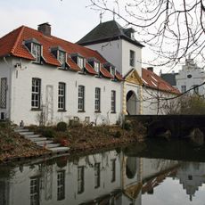
Nieuwenbroeck Castle
2.6 km
Historic Vegetables Farm
2.5 km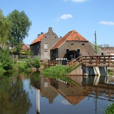
Friedesse Molen
2.3 km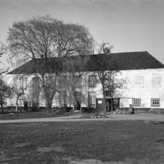
Keizerbosch
2.6 km
De Grauwe Beer
1.8 km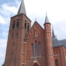
Sint-Martinuskerk
2.3 km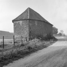
Nolissenhofkapel
1.1 km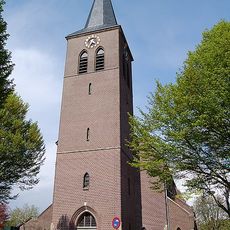
Sint-Gertrudiskerk
2.3 km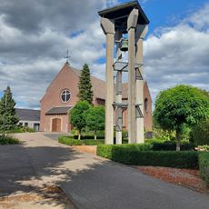
Church of the Immaculate Conception of Mary
1.1 km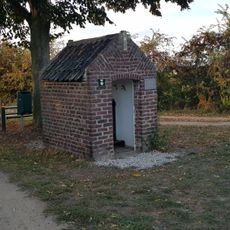
Onze-Lieve-Vrouw-van-Smartenkapel
2.4 km
Beeselse Schans
3.2 km
Keyserbosch
2.6 km
Schans
1.3 km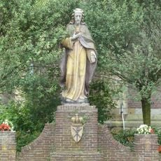
Statue of Sacred Heart of Jesus Christ
2.3 km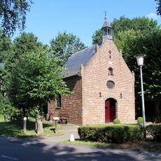
Onze-Lieve-Vrouwe-in-het-Santkapel
3.1 km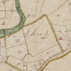
Elsenschans
2.7 km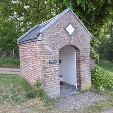
Sint-Antoniuskapel
2 km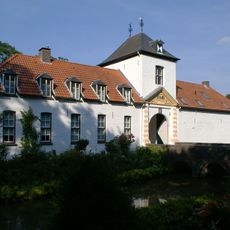
Nieuwenbroeck castle: bridge
2.5 km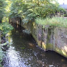
Lock drainage channel Neer
2.1 km
Engelmanstraat 13, Neer
2.5 km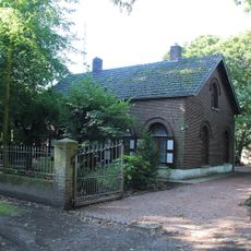
Kanaaldijk 5, Neer
2.5 km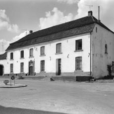
Veers 10, Kessel
2.9 km
Burgemeester Janssenstraat 41, Beesel
2.9 km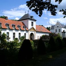
Nieuwenbroeck castle: gate building, depot, pigeon tower
2.6 km
Nieuwenbroeck castle: park
2.6 km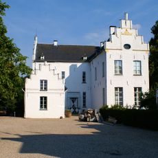
Nieuwenbroeck castle: main building
2.6 km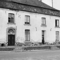
Veers 11, Kessel
2.9 km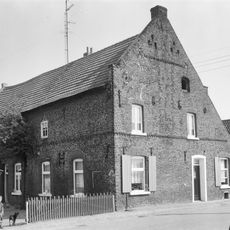
Straterhof
1.2 kmReviews
Visited this place? Tap the stars to rate it and share your experience / photos with the community! Try now! You can cancel it anytime.
Discover hidden gems everywhere you go!
From secret cafés to breathtaking viewpoints, skip the crowded tourist spots and find places that match your style. Our app makes it easy with voice search, smart filtering, route optimization, and insider tips from travelers worldwide. Download now for the complete mobile experience.

A unique approach to discovering new places❞
— Le Figaro
All the places worth exploring❞
— France Info
A tailor-made excursion in just a few clicks❞
— 20 Minutes