
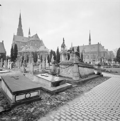
Veghel Roman Catholic Churchyard, roman catholic cemetery in Veghel
Location: Veghel
Part of: Sint-Lambertuskerk
GPS coordinates: 51.61862,5.54266
Latest update: September 25, 2025 17:30
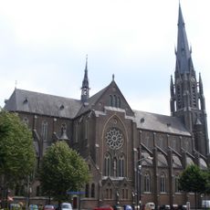
Sint-Lambertuskerk
117 m
Airborne Monument
401 m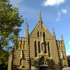
Congregatiekapel
66 m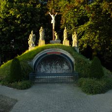
Calvary
95 m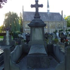
Grafmonument van F.E.M. Sasse van Ysselt
49 m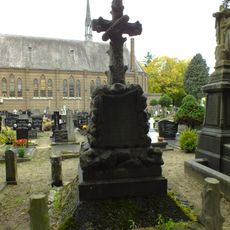
Grafmonument van L.C.H.M. Sasse van Ysselt
49 m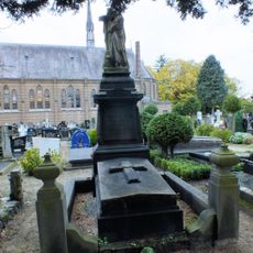
Grafmonument van Hubert van den Bergh
49 m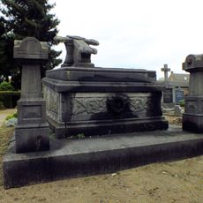
Grafmonument van A.M. van den Bergh-Sassen
49 m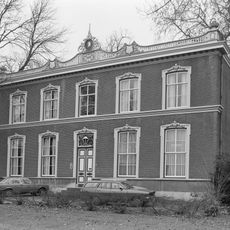
Klondike
368 m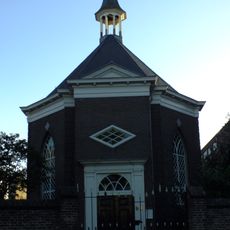
Hervormde Kerk
349 m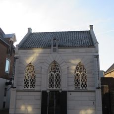
Synagoge (1866 - 1945)
159 m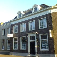
Hoofdstraat 41, Veghel
302 m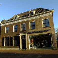
Hoofdstraat 39, Veghel
304 m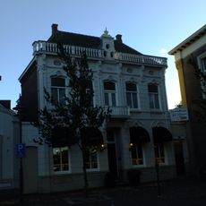
Hoofdstraat 1, Veghel
320 m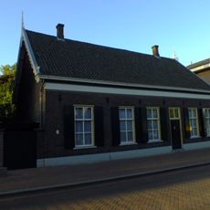
Hoogstraat 21, Veghel
405 m
Hoofdstraat 37, Veghel
304 m
Grafmonument
49 m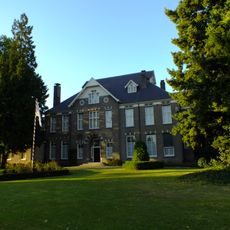
Burgemeester de Kuijperlaan 1, Veghel
103 m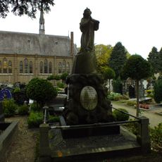
Grafmonument
49 m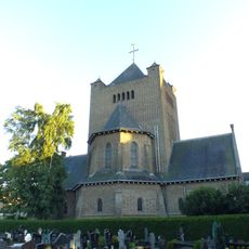
Kapel bij klooster
98 m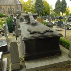
Grafmonument
49 m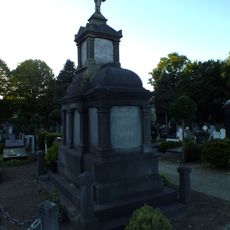
Grafmonument
49 m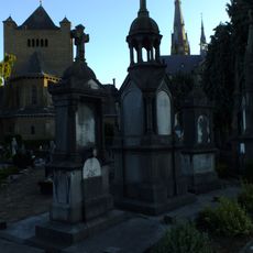
Grafmonument
49 m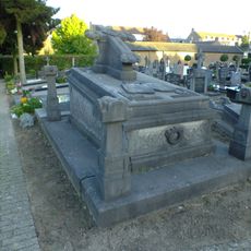
Grafmonument
49 m
Klooster met rectoraat
98 m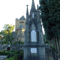
Grafmonument
49 m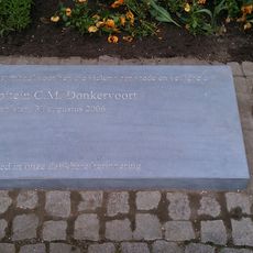
Oorlogsmonument
457 m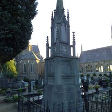
Grafmonument
49 mVisited this place? Tap the stars to rate it and share your experience / photos with the community! Try now! You can cancel it anytime.
Discover hidden gems everywhere you go!
From secret cafés to breathtaking viewpoints, skip the crowded tourist spots and find places that match your style. Our app makes it easy with voice search, smart filtering, route optimization, and insider tips from travelers worldwide. Download now for the complete mobile experience.

A unique approach to discovering new places❞
— Le Figaro
All the places worth exploring❞
— France Info
A tailor-made excursion in just a few clicks❞
— 20 Minutes