
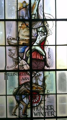
Gedenkraam in het gemeentehuis, oorlogsmonument in Woerden, Nederland
Location: Woerden
Inception: 1955
Creator: H. Liefkes
Official opening: 1955
Address: Burg. Breenplantsoen, 3471 CK, Kamerik (Woerden), Utrecht, Nederland
GPS coordinates: 52.11167,4.89667
Latest update: March 18, 2025 19:14
's-Gravesloot
2.2 km
Landgoed Bredius
2.3 km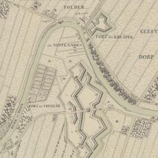
Fort Kruipin
1.7 km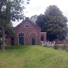
Gemaal Kamerik Teijlingens
1.2 km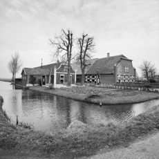
Houtdijken
2 km
Batensteinbad
2.2 km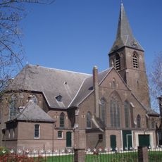
Saint Hippolytus Church (Kanis)
1.5 km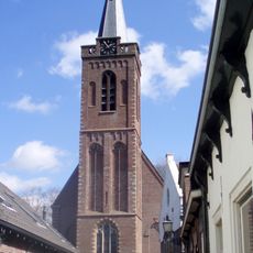
Saint Hippolytus Church, Kamerik
100 m
Townhall of Kamerik
39 m
Rijksbeschermd gezicht Kamerik
155 m
Meanderbrug
2.2 km
Mijzijde 54, Kamerik
204 m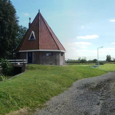
Breeveldse Molen
2.3 km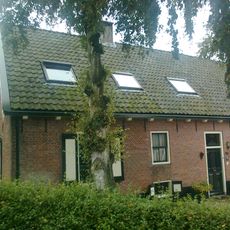
Geestdorp 25, Woerden
1.8 km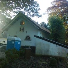
Boschlust, Woerden
1.8 km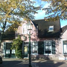
Mijzijde 53, Kamerik
197 m
Veldzicht (Woerden)
1.8 km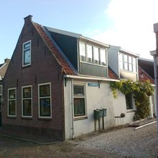
Van Teylingenweg 68, Kamerik
200 m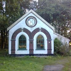
Witgepleisterd pandje
1.7 km
Van Teylingenweg 59, Kamerik
181 m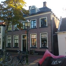
Van Teylingenweg 41, Kamerik
165 m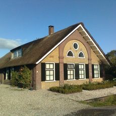
Jagtlust
584 m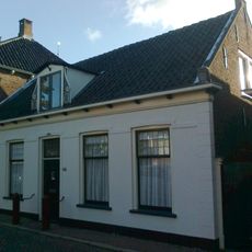
Van Teylingenweg 40, Kamerik
172 m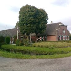
Veldzicht: boerderij
1.8 km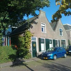
Mijzijde 62, Kamerik
219 m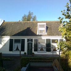
Mijzijde 37, Kamerik
230 m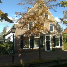
Mijzijde 34-35, Kamerik
209 m
Jagtlust (zomerhuis)
584 mVisited this place? Tap the stars to rate it and share your experience / photos with the community! Try now! You can cancel it anytime.
Discover hidden gems everywhere you go!
From secret cafés to breathtaking viewpoints, skip the crowded tourist spots and find places that match your style. Our app makes it easy with voice search, smart filtering, route optimization, and insider tips from travelers worldwide. Download now for the complete mobile experience.

A unique approach to discovering new places❞
— Le Figaro
All the places worth exploring❞
— France Info
A tailor-made excursion in just a few clicks❞
— 20 Minutes